What is recorded here
In partially reclaimed pasture 155m S of a stream that marks the townland boundary with Fantstown. Ditch-barrow (LI048-099----) lies 55m to N. Not depicted on OSi historic 6-inch maps. Identified as a possible earthwork by archaeologist Christina O’Regan in 2010. Visible as a roughly rectangular shaped-area (dims. c. 38m N-S; 34m E-W) defined by a fosse from N-E-S on Digital Globe orthoimage taken between 2011-13 where it is intersected at W by farm track running N-S. Faint outline of square shaped area defined by waterlogged fosse visible on Google Earth orthoimages. The form and shape suggests it may be a moated field which is the result of field drainage rather than the remains of possible medieval moated site or some other form of an archaeological monument.
See attached Google Earth orthoimages.
Compiled by: Martin Fitzpatrick
Date of upload: 6 September 2021
The monument record does not grant public access. Check the route and ask the landowner before entering private land.
- What survives
- Recorded monument
Places near here
 BarrowBarrow, ditch barrow · 142 yd
 Ladys WellHoly well · 689 yd
 Castle (in ruins)Castle, tower house · 729 yd
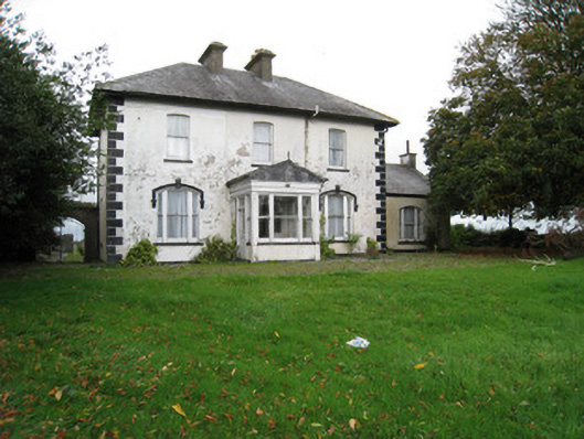 Fantstown Househouse · 779 yd
 Teermore Househouse · 1561 yd
 Site of Millmount Castle, Castle FieldCastle, unclassified · 1.6 mi
 St Bridget's WellSpring · 2.4 mi
 Ballyhoura tourist informationVisitor information · 3.4 mi
 Ballinvreena LoopVisitor information · 3.6 mi
 Palatine's RockNamed rock · 4.3 mi
 Edmund's WellSpring · 4.6 mi
 Ballyhoura WayWalking route · 4.6 mi