What is recorded here
Ó Danachair (1955, 208) recorded the following details about this holy well; 'Lady's Well on 1840 map. A little clear spring beside the ruin of Fantstown church. Formerly much visited, but hardly ever now. A pattern was held on 15th August up to about 1820. A large ash tree grew beside the well. Legend: The Parish Priest was coming from this well one night and was shot by whiteboys. Because of this his successor abolished the pattern (This refers to the murder of Father Mulqueen, P.P., in November, 1819) (Begley 1906, 464-5)'.
Ó Danachair (1955, 208) recorded the following details about this holy well; 'Lady's Well on 1840 map. A little clear spring beside the ruin of Fantstown church. Formerly much visited, but hardly ever now. A pattern was held on 15th August up to about 1820. A large ash tree grew beside the well. Legend: The Parish Priest was coming from this well one night and was shot by whiteboys. Because of this his successor…
From the National Monuments Service (Archaeological Survey of Ireland) record LI048-002002
The monument record does not grant public access. Check the route and ask the landowner before entering private land.
- What survives
- Recorded monument
Places near here
Photo credits
- National Inventory of Architectural Heritage
- Mike Searle, Wikimedia Commons · CC BY-SA 2.0
- Colin Park, Geograph · CC BY-SA 2.0
- Hywel Williams, Geograph · Creative Commons Attribution-ShareAlike 2.0
- CaitNi, Wikimedia Commons · CC BY-SA 4.0
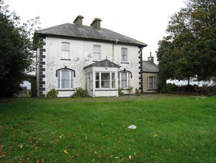 Fantstown HouseHouse · 183 ydCastle (in ruins)Castle, tower house · 680 yd
 Bantard HouseHouse · 1170 yd
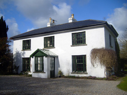 Fairyfield HouseHouse · 1366 ydSt Bridget's WellSpring · 2.5 miBallinvreena LoopVisitor information · 3.8 miBallyhoura tourist informationVisitor information · 3.8 mi
 Castle (in ruins)Castle, tower house · 5.3 mi
 SlievereaghMountain / peak · 5.4 mi
 Grave YardGraveyard · 6.5 mi
 Ladys WellHoly well · 7.7 mi
 CarrigeenamronetyMountain / peak · 8.2 mi
More archaeology and monuments in County Limerick · All of County Limerick
What do you know about this place?