What is recorded here
In improved pasture, on a NE-facing slope. The levelled remains of sub-rectangular area (dims. 40m NW-SE; 27m NE-SW) defined by traces of bank (Wth at top 2.5m; overall Wth 7.6m; int. H 0.4m; ext. H 0.15m) to NW, SW and SE. The monument is defined by a land drain and townland boundary to the NE. There is a wide levelled bank to the NW which also appears to incorporate a levelled field boundary. The interior is defined by a gentle depression on a general NE-facing slope. The remains of a possible fosse (basal Wth 0.85m; overall Wth 3.95m; D 0.2m) are visible in the SW quadrant.
Compiled by: Jean Farrelly
Date of upload: 26 August 2011
The monument record does not grant public access. Check the route and ask the landowner before entering private land.
- What survives
- Recorded monument
Places near here
 Ecclesiastical enclosure in ShanakyleEcclesiastical enclosure · 354 yd
 CrushshuvaunhenryCross, Wayside cross · 386 yd
 CastleCastle, ringwork and bailey · 861 yd
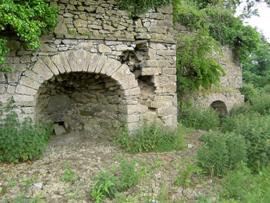 kilnkiln · 1671 yd
 St. Johnstown ChurchChurch · 1.0 mi
 Eagle HillMountain / peak · 1.1 mi
 Saint Johnstown CastleCastle · 1.1 mi
 Knockuragh HillMountain / peak · 2.9 mi
 Slieveardagh Heritage CentreVisitor information · 3.1 mi
 East GateMemorial · 4.9 mi
 European YewEuropean Yew · 5.0 mi
 Noan WoodWood · 5.4 mi