What is recorded here
Identified as the cropmark of a roughly square enclosure (overall dims. c. 55m E-W), defined by two fosses, visible on an aerial photograph (CUCAP AVL086, 15 July 1968; BGH012, 16 July 1971). On the 1st (1839) ed. OS 6-inch map and the 1900 revision the enclosure is not indicated, suggesting it had been levelled by 1839, however, a field boundary is indicated running NE-SW along its E side, kinking out to respect the monument. The aerial photographs show as bivallate enclosure with square sides and rounded corners, which suggests that this is a moated site.
See attached:
KK025-013----_01 aerial photograph (CUCAP AVL086, 15 July 1968
Compiled by: Jean Farrelly
Date of upload: 28 February 2022
The monument record does not grant public access. Check the route and ask the landowner before entering private land.
- What survives
- Recorded monument
Places near here
 Enclosure in Gorteen (gowran By.)Enclosure · 550 yd
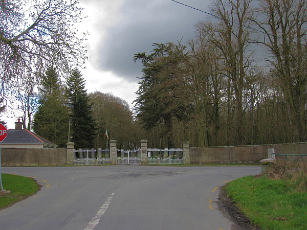 Mount Loftusgates/railings/walls · 632 yd
 Not indciatedEnclosure · 702 yd
 Drumroe Castle (ruins)Castle · 1053 yd
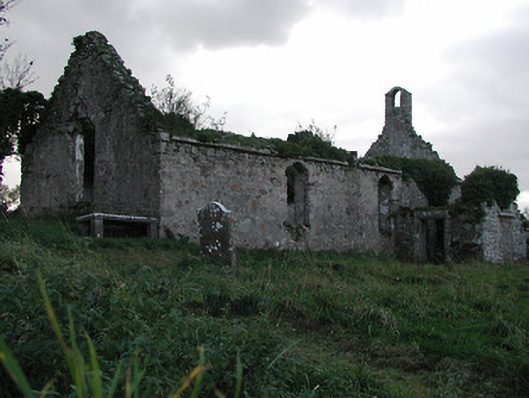 Powerstown Churchchurch/chapel · 1076 yd
 CastleCastle, motte · 1135 yd
 Tinnakeenly BogForest · 1.7 mi
 The bogForest · 1.9 mi
 Monastic MillsMemorial · 4.9 mi
 Bianconi ArchwayMemorial · 4.9 mi
 Tullaherin Church and Round TowerVisitor information · 5.8 mi
 St. Mogarra’s WellSpring · 7.7 mi