What is recorded here
In improved pasture, on a level area, at base of a N-facing slope. Square area (dims. 25m E-W; 23m N-S) defined by a levelled bank (overall Wth 7.5m; Wth at top 4m; int. H 0.15m; ext. H 0.15m) on S-side (L 24m) and levelled scarp (Wth 2.5m; H 0.15m) on W (L 24m), N (L 23m) and E-sides (23m). Fosse (overall Wth 6.5m; basal Wth 2.5m; D 0.05m) is best defined (overall Wth 5m; basal Wth 1.5m; D 0.15m) at S. Interior is generally level.
Compiled by: Jean Farrelly
Date of upload: 26 August 2011
The monument record does not grant public access. Check the route and ask the landowner before entering private land.
- What survives
- Recorded monument
Places near here
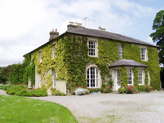 Ballinamona Househouse · 518 yd
 Enclosure in FarranamanaghEnclosure · 834 yd
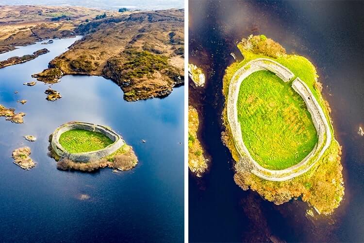 Doon FortArchaeological place · 939 yd
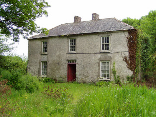 Castlelake Millmiller's house · 1293 yd
 Site of CastleCastle, unclassified · 1303 yd
 Ballynahinch Castle (in ruins)Castle, tower house · 1.1 mi
 Hore AbbeyHeritage attraction · 1.6 mi
 Black mulberryBlack mulberry · 1.9 mi
 Rock of CashelHeritage attraction · 2.0 mi
 The Rock Of CashelVisitor information · 2.0 mi
 Maudemount BogWood · 7.0 mi
 Enclosure in Ballinamona (horeabbey Par.)Enclosure · 1081 yd