What is recorded here
Roughly square-shaped enclosure (approx. dims. 35M N-S X 38m E-W) with cultivation ridges running E-W across interior is visible on Digital Globe aerial imagery. Semi-circular shaped annexe visible to WNW.
See attached image from Google Earth aerial photographs taken 17/01/2020
Compiled by: Caimin O'Brien based on details provided by Jean-Charles Caillère
Date of upload: 15 April 2020
The monument record does not grant public access. Check the route and ask the landowner before entering private land.
- What survives
- Recorded monument
Places near here
 Enclosure in AnnaskinnanEnclosure · 1551 yd
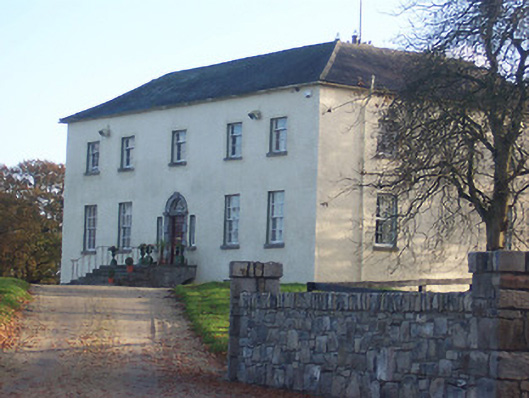 Hyde Parkcountry house · 1741 yd
 D'Arcy's Bridgebridge · 1.0 mi
 CastleCastle, ringwork · 1.4 mi
 EnclosureEnclosure, large enclosure · 1.7 mi
 Rathwire Moat & CastleCastle, motte and bailey · 2.6 mi
 Abandoned Kinnegad CanalWood · 4.2 mi
 Croppies' GraveMemorial · 5.3 mi
 ScregganWood · 5.4 mi
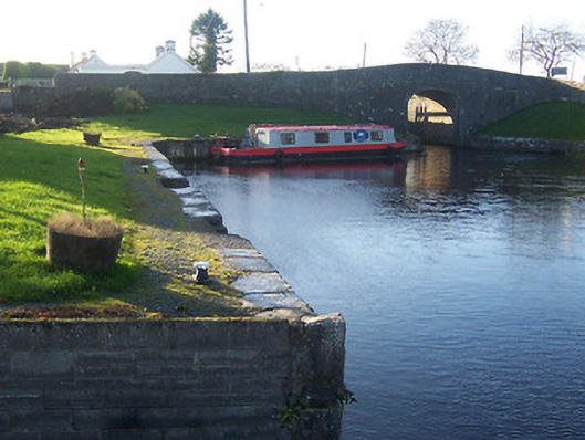 harbour/dock/portharbour/dock/port · 1.4 mi
 18th Locklock · 1.4 mi
 19th Locklock · 1.5 mi