What is recorded here
In gently undulating pasture, with restricted views in all directions. Not depicted on OS historic mapping. Monument surveyed by the ASI in 2000 and described as a slightly raised rectangular-shaped area (21m N-S; 18m E-W) enclosed by a bank (Wth 4.3m; int. H 0.25m; ext. H 0.2m), and an external fosse (overall Wth 4.6m; basal Wth 1.3m; D 0.15m). The bank is low in profile and is almost reduced to a scarp. The fosse encloses the site along the S, W and N sides, although it is best defined to W and N. There is no obvious entrance. The interior is level, dry and clear of overgrowth. Irregular undulations in vicinity of the site may indicate a field system. Monument is visible as a rectangular-shaped earthwork on Digital Globe orthophotos taken 2011-13 and on Google Earth orthoimage taken 18/03/2015.
See attached sketch plan by the ASI and Google Earth orthoimage.
Compiled by: Alison McQueen and Vera Rahilly
Date of upload: 11 August 2020
The monument record does not grant public access. Check the route and ask the landowner before entering private land.
- What survives
- Recorded monument
Places near here
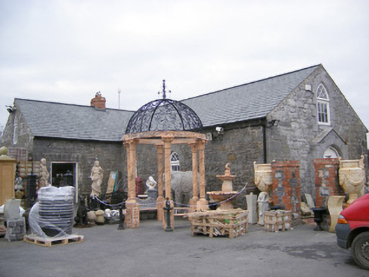 Old School Housechurch/chapel · 375 yd
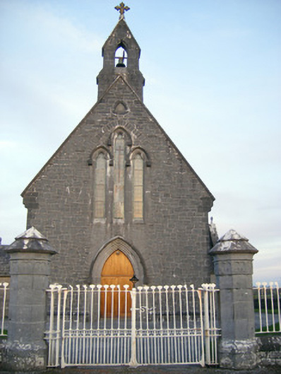 Catholic Church of Saint Peter and Saint Paulchurch/chapel · 460 yd
 BarrowBarrow, bowl-barrow · 721 yd
 OutlinedFulacht fia · 942 yd
 Ballinveala Castle (in ruins)Castle, tower house · 1.2 mi
 Castle FieldCastle, unclassified · 1.7 mi
 Villiers WellSpring · 1.7 mi
 Monasteranenagh AbbeyHeritage attraction · 4.1 mi
 Biodiversity in the Maigue CatchmentVisitor information · 4.3 mi
 European YewEuropean Yew · 4.5 mi
 GinkgoGinkgo · 4.5 mi
 Dysert AenghusaHeritage attraction · 4.8 mi