
What is recorded here
In low-lying, wet level pasture, with restricted views in all directions. Monument surveyed by the ASI in 2000 and described as a circular-shaped flat-topped mound (diam. 9.8m; H 1m) enclosed by a broad, shallow, waterlogged fosse (overall Wth 14.2m; base Wth 11m; D 0.3m). Monument is visible as a circular-shaped tree-planted earthwork on Digital Globe orthophotos taken 2011-13 and on Google Earth orthoimage taken 28/06/2018.
See attached Google Earth orthoimages.
Compiled by: Alison McQueen and Vera Rahilly
Date of upload: 11 August 2020
Bowl barrow, likely dating to the Early Bronze Age (c. 2500–1500 BCE). These monuments are significant as some of the earliest known funerary structures in the Irish landscape, often associated with elite burial practices.
The monument record does not grant public access. Check the route and ask the landowner before entering private land.
- What survives
- Recorded monument
Places near here
 The Cottagehouse · 597 yd
 Partially hachuredFairy fort / earthen ringfort · 603 yd
 Enclosure in BallinvealaEnclosure · 1033 yd
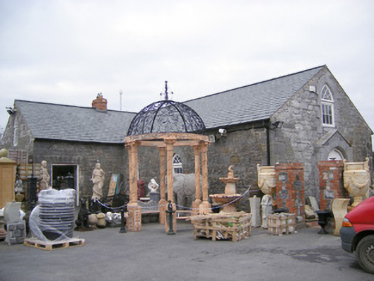 Old School Housechurch/chapel · 1084 yd
 Ballinveala Castle (in ruins)Castle, tower house · 1445 yd
 Castle (in ruins)Castle, hall-house · 1.7 mi
 Villiers WellSpring · 2.0 mi
 Biodiversity in the Maigue CatchmentVisitor information · 3.9 mi
 Monasteranenagh AbbeyHeritage attraction · 4.0 mi
 European YewEuropean Yew · 4.1 mi
 GinkgoGinkgo · 4.1 mi
 Dysert AenghusaHeritage attraction · 4.4 mi
Other information
Photo: Credit not shown in the picture search · Rights wording not checked; contact us if this picture should be removed