What is recorded here
One of Ireland's rare surviving moated sites, it still stands as a sharp rectangular earthwork in County Carlow. The flat-bottomed ditch and outer bank remain clear enough to picture the finished shape, even though no entrance has been identified. That absence makes the place feel less like a home and more like a deliberate warning, a boundary drawn in soil and water.
The following description is derived from the published 'Archaeological Inventory of County Carlow' (Dublin: Stationery Office, 1993). In certain instances the entries have been revised and updated in the light of recent research.
Date of upload/revision: 17 July 2007
Almost square platform with low bank (40m N-S, 45m E-W; H at N 1.5m, at E 2.1m above base of fosse) enclosed by well-defined flat-base fosse (Wth at base 3m) and second low external bank. Situated below crest of hill. No evidence of causeway or entrance.
Aerial photograph (GB89.AH.23) shows moated site. Well preserved rectangular earthwork in 1989. But the aerial photograph on website shows earthwork under cultivation which is unfortunate given that this was one of a very small number of well preserved moated sites surviving as upstanding monuments in County Carlow (Barrett 1989).
The monument record does not grant public access. Check the route and ask the landowner before entering private land.
- What survives
- Recorded monument
Places near here
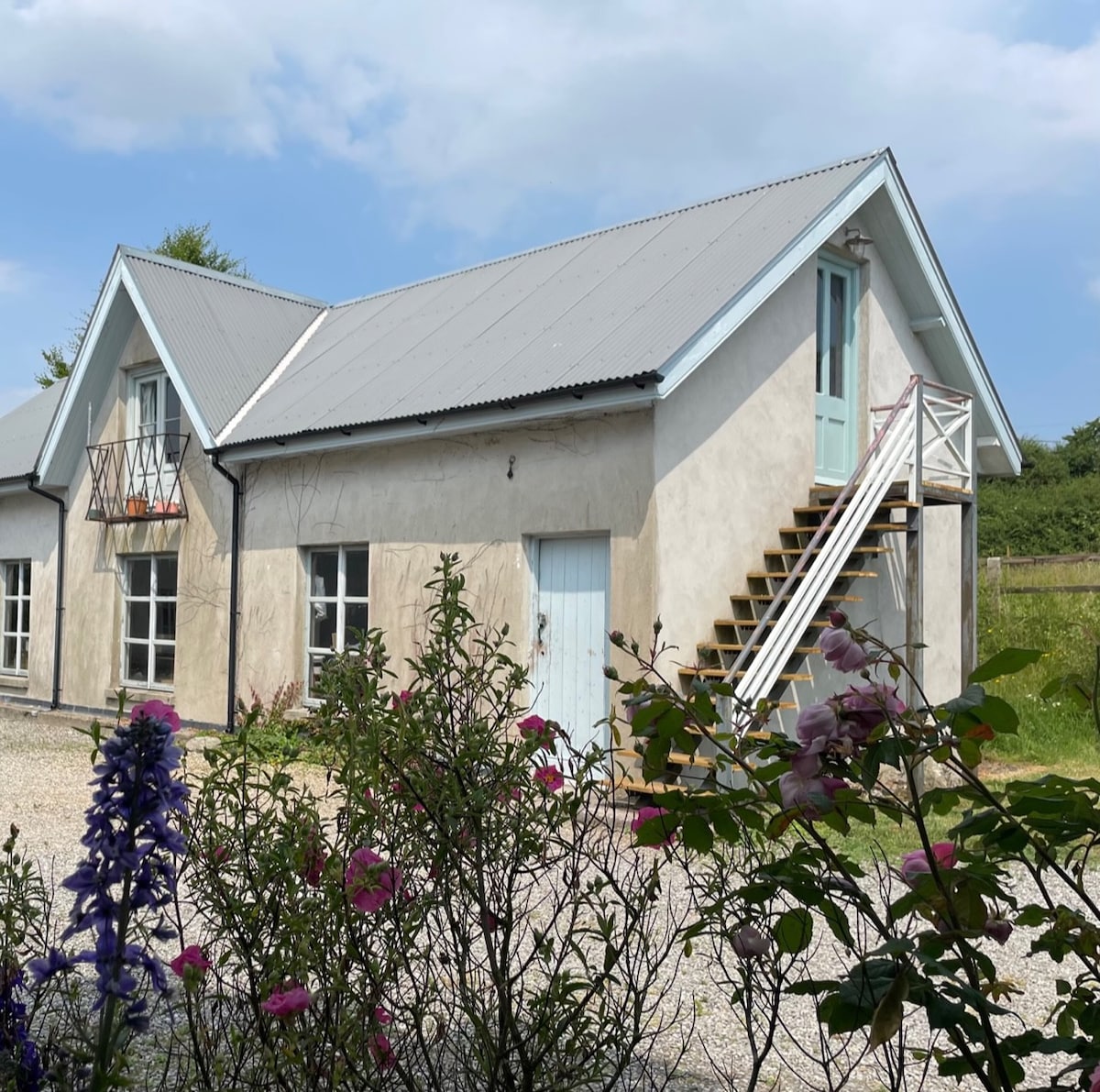 Enclosure in BallinadrumEnclosure · 616 yd
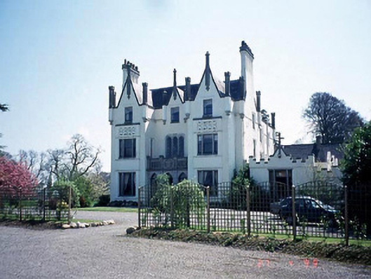 Ballykealey Housecountry house · 933 yd
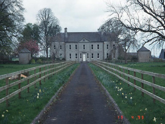 Sandbrook Househouse · 1366 yd
 Burial GroundChurch · 1451 yd
 Church (in ruins), GraveyardChurch · 1.1 mi
 Castlegrace MoatCastle, motte · 1.2 mi
 Kilmurry Church (in ruins), GraveyardChurch · 2.5 mi
 Ballynunnery Castle in ruinsCastle, unclassified · 2.6 mi
 Scots PineScots Pine · 2.7 mi
 Altamont Gardens MapVisitor information · 2.7 mi
 Altamont House and GardensHeritage attraction · 2.8 mi
 English hollyEnglish holly · 4.0 mi