What is recorded here
Barrow is a seven-metre ring of ancient earth on flat pasture in County Limerick, one of five burial mounds clustered near the Castlelloyd boundary. It resisted mapping for decades, appearing and disappearing across aerial photographs until satellite images caught its faint circular shadow. The land may have swallowed the marker during wet seasons or hidden it beneath grass and shadow, yet the barrow endures as a quiet ring of dead time in ordinary fields.
On flat pasture 140m E of the N tip of the townland boundary with Castlelloyd. One of five barrows (LI025-033001/003/004-/005-) in a barrow cemetery. The ring-barrow is not depicted on historic OSi maps, but is visible on OSi orthoimages taken 2005-12. Not visible on Digital Globe orthoimages taken 2011-2013. Identified by Bruff aerial photographic survey in 1986 (Bruff 10.2; AP 4/3621) as a circular ring-barrow (ext. diam. c. 7.5m). The ring-barrow is visible on the most recent Google Earth orthoimage taken 18/11/2018.
See attached Bruff survey image showing the site labelled Bruff 10.2 and Google Earth orthoimage
Compiled by: Edmond O’Donovan
Date of upload: 22 September 2020
Ring-barrow, likely dating to the Early Bronze Age. It is part of a barrow cemetery, indicating a significant prehistoric burial landscape.
The monument record does not grant public access. Check the route and ask the landowner before entering private land.
- What survives
- Recorded monument
Places near here
 Field system in Garryduff (coonagh By.)Field system · 285 yd
 Oola National Schoolschool · 526 yd
 CloghadaltonCastle, unclassified · 556 yd
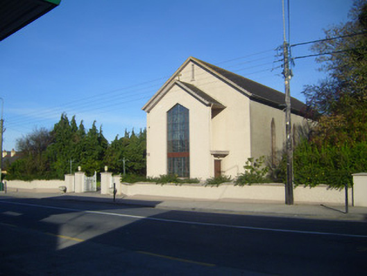 Catholic Church of the Sacred Heartchurch/chapel · 589 yd
 Enclosure in Garryduff (coonagh By.)Enclosure · 600 yd
 Oola HillMountain / peak · 1260 yd
 Oola Castle (in ruins)Castle, tower house · 1.1 mi
 ToberagaddySpring · 3.3 mi
 KnockseefinMountain / peak · 4.5 mi
 St. Patrick's WellSpring · 5.8 mi
 Flat cemetery in Knockainy WestFlat cemetery · 9.2 mi
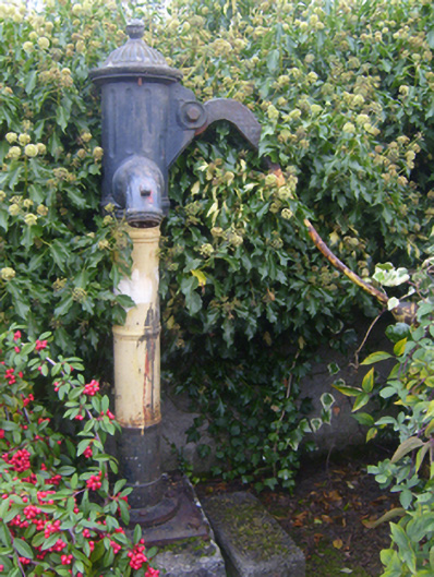 water pumpwater pump · 679 yd