What is recorded here
Enclosure in Moanmore (Solloghodmore parish) is an enclosure in Moanmore (Solloghodmore parish), County Tipperary, Ireland. It occupies low-lying wet pasture and measures roughly 30 metres across internally, with an overall span of about 53 metres. The structure is defined by a central bank, an outer fosse or berm, and a further outer bank, though a roadway running east-northeast to west-southwest cuts through the north sector. A mound is visible in the interior on satellite imagery, and the site may be a barrow.
In low-lying wet pasture. A roughly circular enclosure (diam. c. 30m; overall diam. c. 53m) visible on satellite imagery (Google Earth satellite imagery, 18 November 2018), identified and reported by Jean-Charles Caillère. The enclosure appears to be defined by a bank with an outer fosse or berm and outer bank. An OS Ortho satellite image appears to show a mound in the interior. The outer fosse/berm and outer bank are truncated in the N sector by a roadway running ENE-WSW. This may be a barrow. There is a large barrow (TS058-009----) c. 400m to the SE and a ringfort (TS058-008----) c. 315m to the SSE.
See attached:
TS058-097----_01 Google Earth image (imagery date 18 November 2018)
TS058-097----_02 OS Ortho image (date viewed 7 February 2022)
Compiled by: Jean Farrelly
Date of upload: 7 January 2022
The monument record does not grant public access. Check the route and ask the landowner before entering private land.
- What survives
- Recorded monument
Places near here
 CastleCastle, ringwork · 464 yd
 Enclosure in KnockphelaghEnclosure · 786 yd
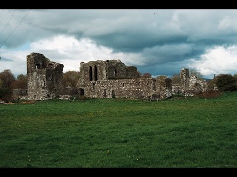 Earthwork in Ballybeg (coonagh By.)Earthwork · 824 yd
 Oola Castle (in ruins)Castle, tower house · 1665 yd
 Shanaclough Househouse · 1.1 mi
 Oola HillMountain / peak · 1.3 mi
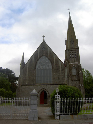 Saint Nicholas's Catholic Churchchurch/chapel · 1.4 mi
 ToberagaddySpring · 5.0 mi
 St. Patrick's WellSpring · 7.5 mi
 Kilteely HillMountain / peak · 7.7 mi
 BarrowBarrow, ditch barrow · 907 yd
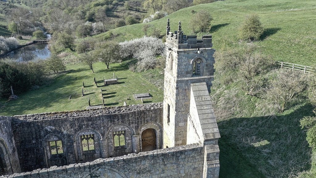 Settlement desertedSettlement deserted, medieval · 1611 yd