What is recorded here
Fairy fort / earthen ringfort in Milltown (rathconrath By., Churchtown Ed) is a fairy fort or earthen ringfort in Milltown (rathconrath By., Churchtown Ed), County Westmeath, Ireland. A 1971 description records a large subcircular area enclosed by an inner bank, an intervening fosse, and an outer bank, with an entrance and causeway at the east-northeast. The inner bank has an irregular outline with disturbance gaps, while the wide, shallow fosse is best preserved from west-southwest through west to north-northeast. A low, short scarp running northwest-southeast extends from the interior of the inner bank at the northwest.
Situated on a low rise, in undulating pasture, with good views in all directions. A moated site (WM025-054----) lies c. 35m to E and an enclosure (WM025-055----) lies c. 160m to SE. Monument described in 1971 as a large subcircular-shaped area enclosed by an inner bank, an intervening fosse and an outer bank with entrance (Wth at top 7.2m; Wth at base 3.5m) and causeway (overall Wth 6.3m; Wth at top 2.4m; H 0.4m) at ENE. The inner earth and stone bank has an irregular outline and has several disturbance gaps. The wide, shallow fosse is best preserved from WSW-W-N-NE. The outer bank is visible from WSW-W-N-NE. The interior has a general SE-facing slope and rises slightly towards the centre. A low, short scarp (L 15m; H 1m) running NW-SE extends from the interior of the inner bank at NW. Monument visible as a substantial subcircular-shaped earthwork on oblique aerial photographs (CUCAP AYR023/024) taken 11/07/1969.
See attached plan of monument surveyed and drawn by the ASI.
Compiled by Alison McQueen, Vera Rahilly and Caimin O’Brien.
Date of upload: 10 September 2019
The monument record does not grant public access. Check the route and ask the landowner before entering private land.
- What survives
- Recorded monument
Places near here
 RathglassEnclosure, large enclosure · 272 yd
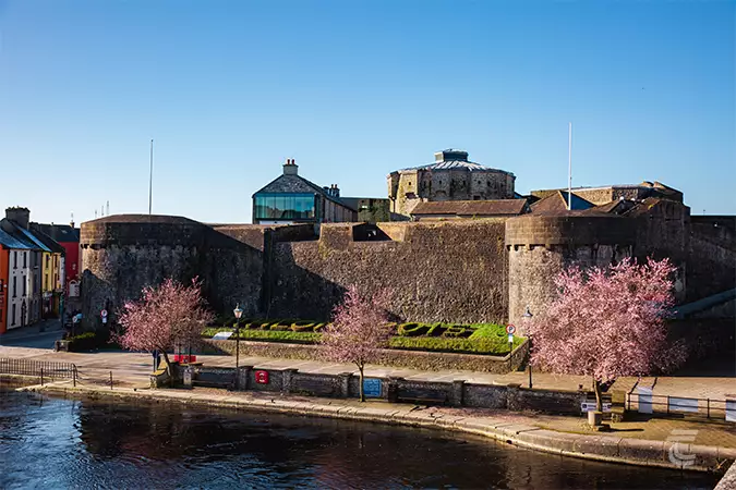 Oldtown CastleCastle · 497 yd
 OutlinedFairy fort / earthen ringfort · 794 yd
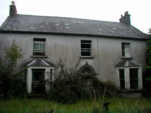 Churchtown Househouse · 1100 yd
 Ballyhandy Househouse · 1221 yd
 Ancient Ring FortWood · 1248 yd
 CastleCastle, unclassified · 1.0 mi
 Hill of UisneachMountain / peak · 2.9 mi
 European ashEuropean ash · 3.7 mi
 Kilmalady HillMountain / peak · 8.8 mi
 Bonfire HillMountain / peak · 9.2 mi
 Abbeyshrule AbbeyRuins · 9.4 mi