What is recorded here
The Friends of Medieval Dublin Map shows the site of a horse mill within the precincts of St. Marys Abbey. He suggests that it was located close to the River Bradogue. (FM map (1978) 06; Bradley & King 1987, 2, 150). There is no visible surface trace.
Compiled by: Geraldine Stout
Date of upload: 23 November 2012
The monument record does not grant public access. Check the route and ask the landowner before entering private land.
- What survives
- Recorded monument
Places near here
 Saint Mary's Abbey Chapter Houseabbey · 64 yd
 Religious houseReligious house, Cistercian monks · 68 yd
 National Leprechaun MuseumHeritage attraction · 87 yd
 Habitation site in Unknown TownlandHabitation site · 380 yd
 Quay in Unknown TownlandQuay · 383 yd
 Newcomen BankVisitor information · 424 yd
 Dublin City HallHeritage attraction · 454 yd
 Gairdín Súgartha i gCuimhne ar na Páistí a Cailleadh in 1916Memorial · 561 yd
 London PlaneLondon Plane · 636 yd
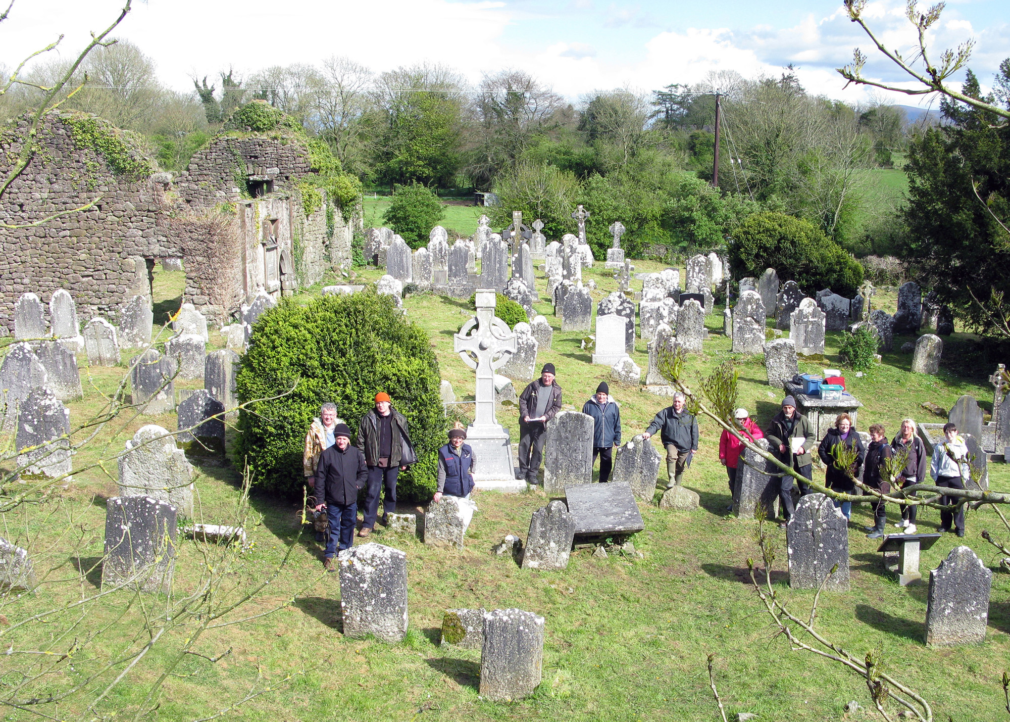 Graveyard in Unknown TownlandGraveyard · 927 yd
 Apple OrchardVisitor information · 939 yd
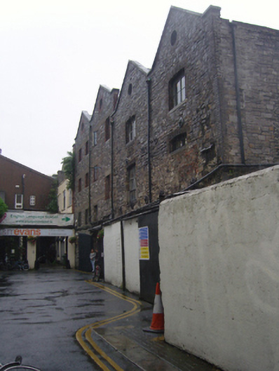 ISI English Language School Dublinstore/warehouse · 68 yd