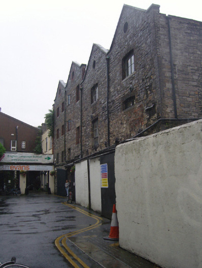
What is recorded here
Warehouse, comprising two-bay four-storey northern block of c.1860 and two-bay three-storey southern block of c.1800. Slighter lower two-bay three-storey return running southwards from east part of west elevation of southern block. Lean-to concrete and corrugated-iron structure to front of southern block. Now in use as language school. Pitched slate roofs, with cut-stone copings and oculi with red brick surrounds to front, west, elevation. Cast-iron rainwater goods. Exposed calp limestone walls, squared, coursed and snecked to northern block and uncoursed and random rubble to southern block, and with brick quoins to north-west and south-east corners of warehouse. Square-headed window openings to northern block, with red brick jambs and having concrete lintelling and flush stone sills. Camber-arch window openings to southern block with brick voussoirs and jambs and mainly concrete, flush, sills. Segmental-arch entrance to northern block with brick voussoirs and having double-leaf sheet metal outer door and glazed inner door. Granite wheel-guard to junction of blocks. Southern block has, within ground floor and basement, chapter house and slype of St Mary's medieval Cistercian abbey.
This substantial warehouse shows evidence of at least two periods of construction and qualities of stonework, likely both within the nineteenth century. It is a typical industrial building of the era in an area noted for large industrial and commercial structures at the edge of Dublin City centre. The varied openings and the gabled treatment add interest to the facade. The survival within of the chapter house of the nationally important St Mary's Cistercian Abbey (50060660) adds special extra significance to this building. The area continued its religious association with the building of a Presbyterian meeting house, shown on Roque's map 1756, at the north end of the laneway. The congregation dated to 1667 and was one of the earliest of the denomination in the city.
This does not grant access. Most recorded buildings are privately owned; view them only from public ground unless the owner allows entry.
Places near here
 Religious houseReligious house, Cistercian monks · 1 yd
 Saint Mary's Abbey Chapter Houseabbey · 13 yd
 National Leprechaun MuseumHeritage attraction · 48 yd
 Burial in Unknown TownlandBurial · 360 yd
 Habitation site in Unknown TownlandHabitation site · 418 yd
 Old Jameson DistilleryMuseum · 563 yd
 London PlaneLondon Plane · 612 yd
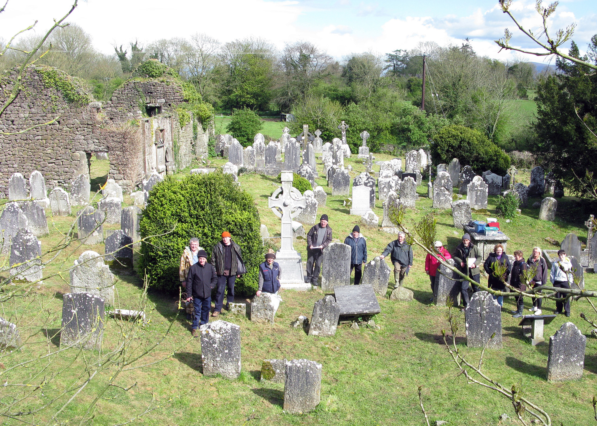 Graveyard in Unknown TownlandGraveyard · 896 yd
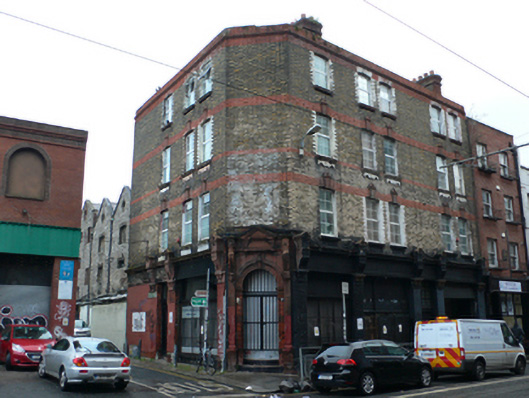 shop/retail outletshop/retail outlet · 36 yd
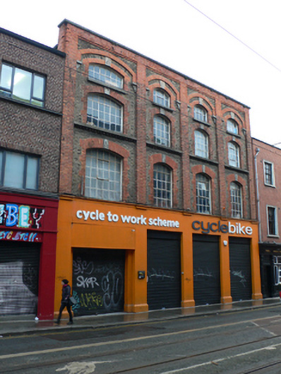 Cycle Bikeshop/retail outlet · 51 yd
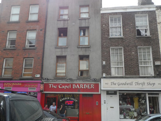 The Capel Barberhouse · 53 yd
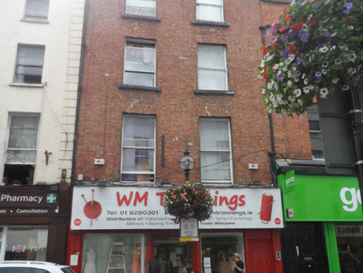 W.M. Trimmingshouse · 53 yd
Other information
Photo: National Inventory of Architectural Heritage · Website use allowed for educational or private purposes with source credit