
What is recorded here
Probably developed as a quay in the mid-Thirteenth century, it was first described as 'the merchan keie', in 1577 (De Courcy 1996, 251-3). Shown on Speed's map (1610) (ed. Gillespie, E, 1973, 33). It extended from Fr. Matthew Bridge to Winetavern Street (L. 253m, H 2.7m). Its final form did not emerge until the early 19th century.
The monument record does not grant public access. Check the route and ask the landowner before entering private land.
- What survives
- Recorded monument
Places near here
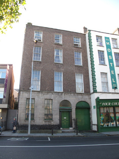 Four Courts Hostelhouse · 20 yd
 Saint Audoen's National Schoolschool · 99 yd
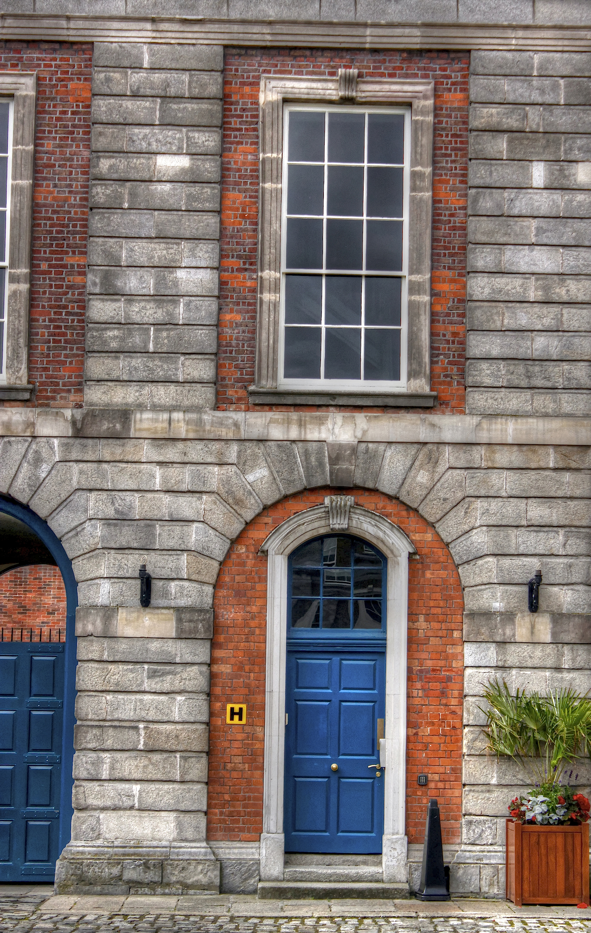 Courthouse in Unknown TownlandCourthouse · 127 yd
 Saint Audoen's GateHeritage attraction · 141 yd
 Medieval City Wall and St. Audeon's ArchHeritage attraction · 153 yd
 Cross-slab in Unknown TownlandCross-slab · 168 yd
 Gairdín Súgartha i gCuimhne ar na Páistí a Cailleadh in 1916Memorial · 181 yd
 Medieval DublinVisitor information · 253 yd
 John FieldMemorial · 414 yd
 European PearEuropean Pear · 734 yd
 London PlaneLondon Plane · 850 yd
 CastleCastle, unclassified · 1037 yd
Other information
Photo: Credit not shown in the picture search · Rights wording not checked; contact us if this picture should be removed