What is recorded here
A mill in disrepair is recorded on the terrier of the Down Survey map of Monksland parish (1655-6) at Ballysiselly, now Ballynasissala. It remains unlocated.
Compiled by: Michael Moore.
Date of upload: 8th June, 2011.
The monument record does not grant public access. Check the route and ask the landowner before entering private land.
- What survives
- Recorded monument
Places near here
 farm housefarm house · 697 yd
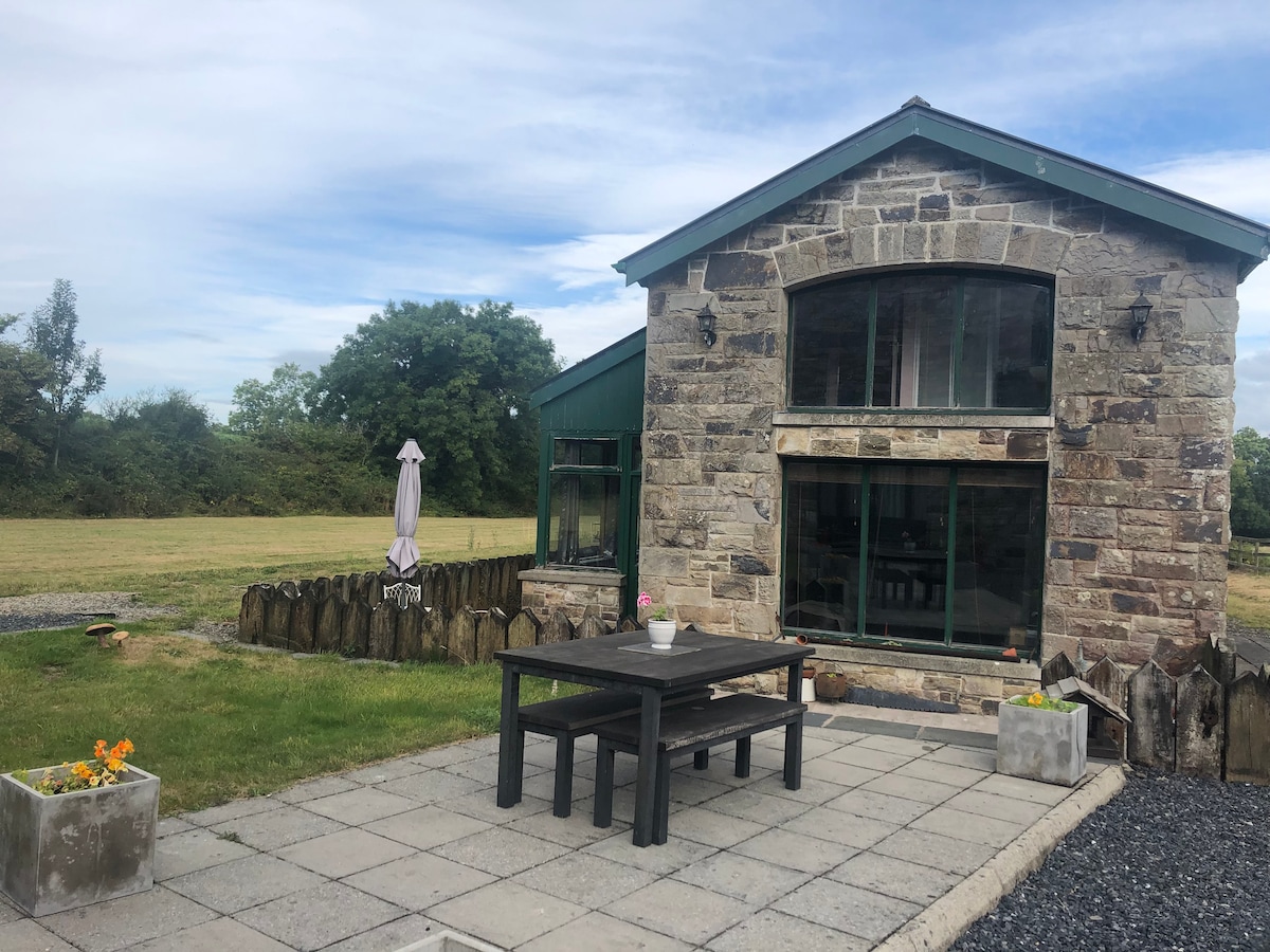 Embanked enclosureFairy fort / ringfort · 941 yd
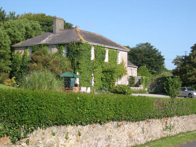 Glebe Houserectory/glebe/vicarage/curate's house · 1054 yd
 Copper CoastCoastal geological landscape · 1140 yd
 Enclosure in BallynagiglaEnclosure · 1141 yd
 Bunmahon Miners' CottagesVisitor information · 1265 yd
 Miners BucketVisitor information · 1388 yd
 Bunmahon StrandBeach / strand · 1545 yd
 Tra na mBoBeach / strand · 1.1 mi
 Mandevilles RockCastle, unclassified · 1.5 mi
 Ballydowane CoveBeach / strand · 1.9 mi
 St. Bernard's WellSpring · 2.0 mi