What is recorded here
In level pasture, in the N corner of a field. No visible surface trace. Identified by aerial photograph (CUCAP AVO 98, 16 July 1968) as semi-circular anomaly ENE-S-W, defined by field boundary to N.
Compiled by: Jean Farrelly
Date of upload: 26 August 2011
The monument record does not grant public access. Check the route and ask the landowner before entering private land.
- What survives
- Recorded monument
Places near here
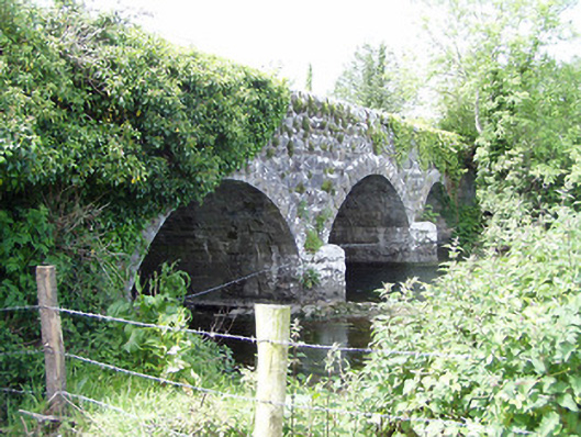 Melbourne Bridgebridge · 233 yd
 mill (water)mill (water) · 244 yd
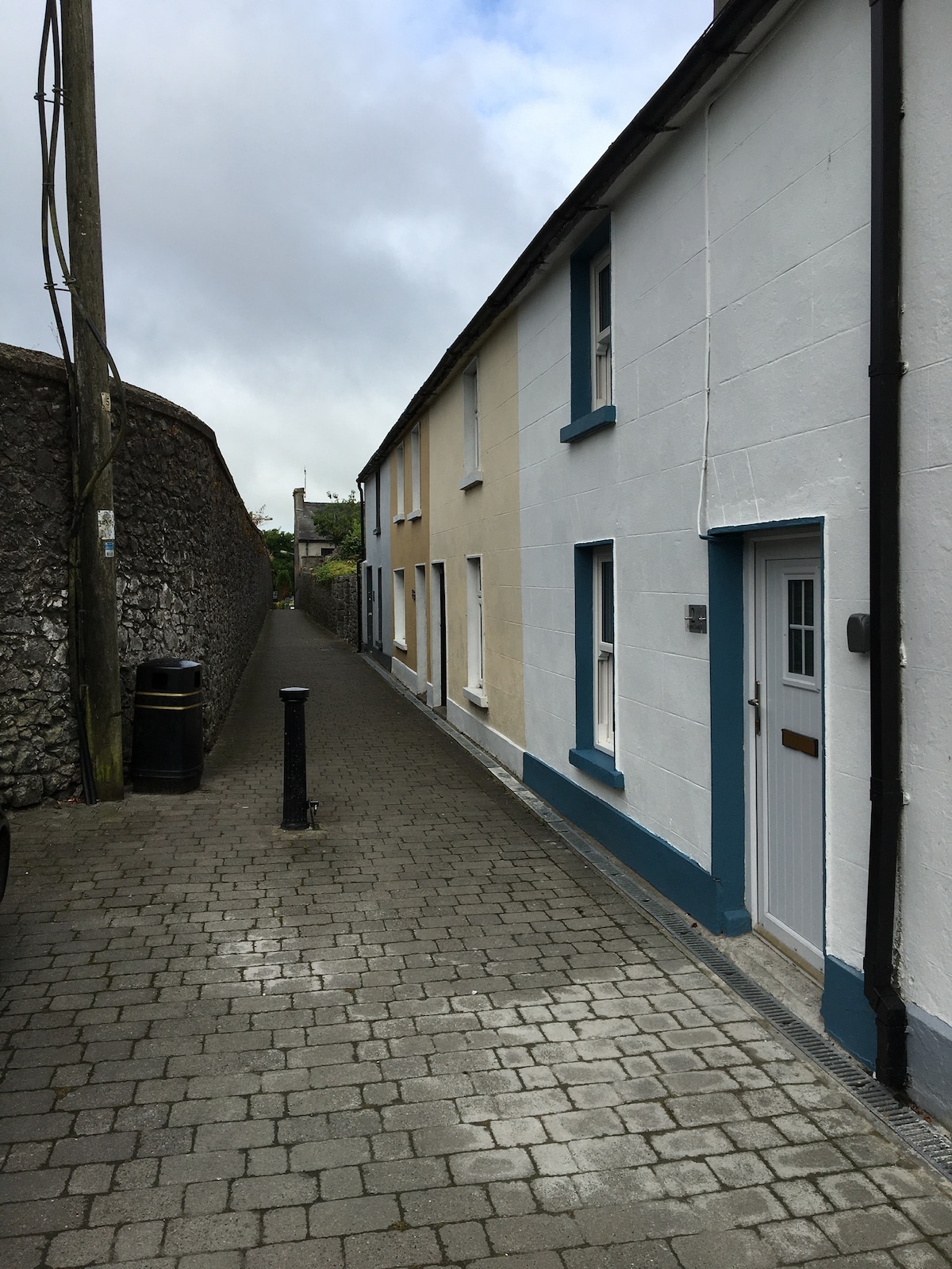 Enclosure in MilestownEnclosure · 525 yd
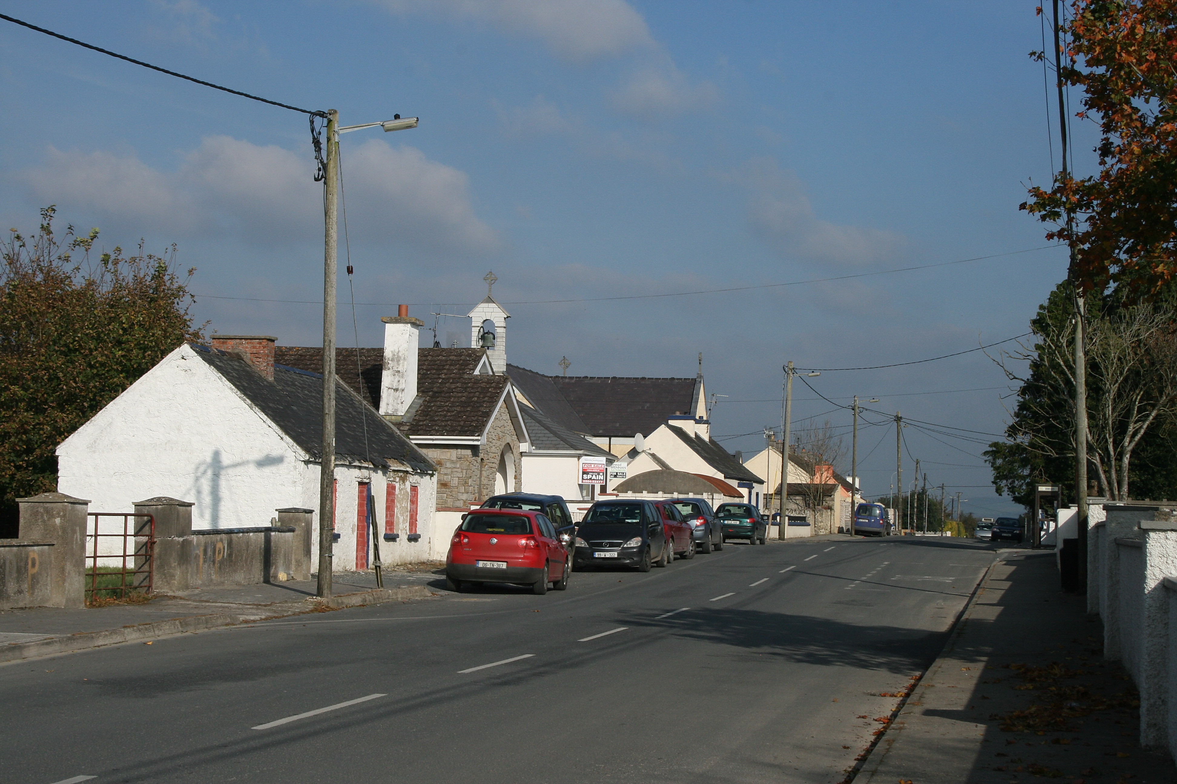 RaheenroeEnclosure · 1297 yd
 Ballinard CastleCastle, tower house · 1546 yd
 Clare Castle (in ruins)Castle, hall-house · 1.1 mi
 CarrigdotiaMountain / peak · 2.1 mi
 CarrickbrockMountain / peak · 2.7 mi
 Silver FirSilver Fir · 3.4 mi
 European ashEuropean ash · 3.4 mi
 East GateMemorial · 3.4 mi
 Church in Cloran OldChurch · 770 yd