
What is recorded here
On the crest of a hill in undulating terrian, in grassland. According to Mullally (1862-63, 148) within the burial ground (TS071-011006-) there was a chapel. There is no visible trace of this at ground level and it is possible that the burial ground had no church associated with it. As the burial ground is not indicated on the 1st (1840) ed. OS 6-inch map, it is possible that it is associated with famine burials. Within the area of the burial ground there is a collapsed standing stone (TS071-011004-) and in the ditch of the field boundary to the SW there is a sculptured pieta (TS071-011003-).
Compiled by: Jean Farrelly
Date of upload: 26 August 2011
A local church or high cross; wider significance not recorded.
This remains an important historical record, but the official description says the monument is no longer visible or has been destroyed. The monument record does not grant public access. Check the route and ask the landowner before entering private land.
- What survives
- No visible remains or recorded as destroyed
Places near here
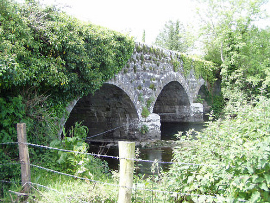 Melbourne Bridgebridge · 584 yd
 mill (water)mill (water) · 660 yd
 Enclosure in MilestownEnclosure · 797 yd
 Clare Castle (in ruins)Castle, hall-house · 1571 yd
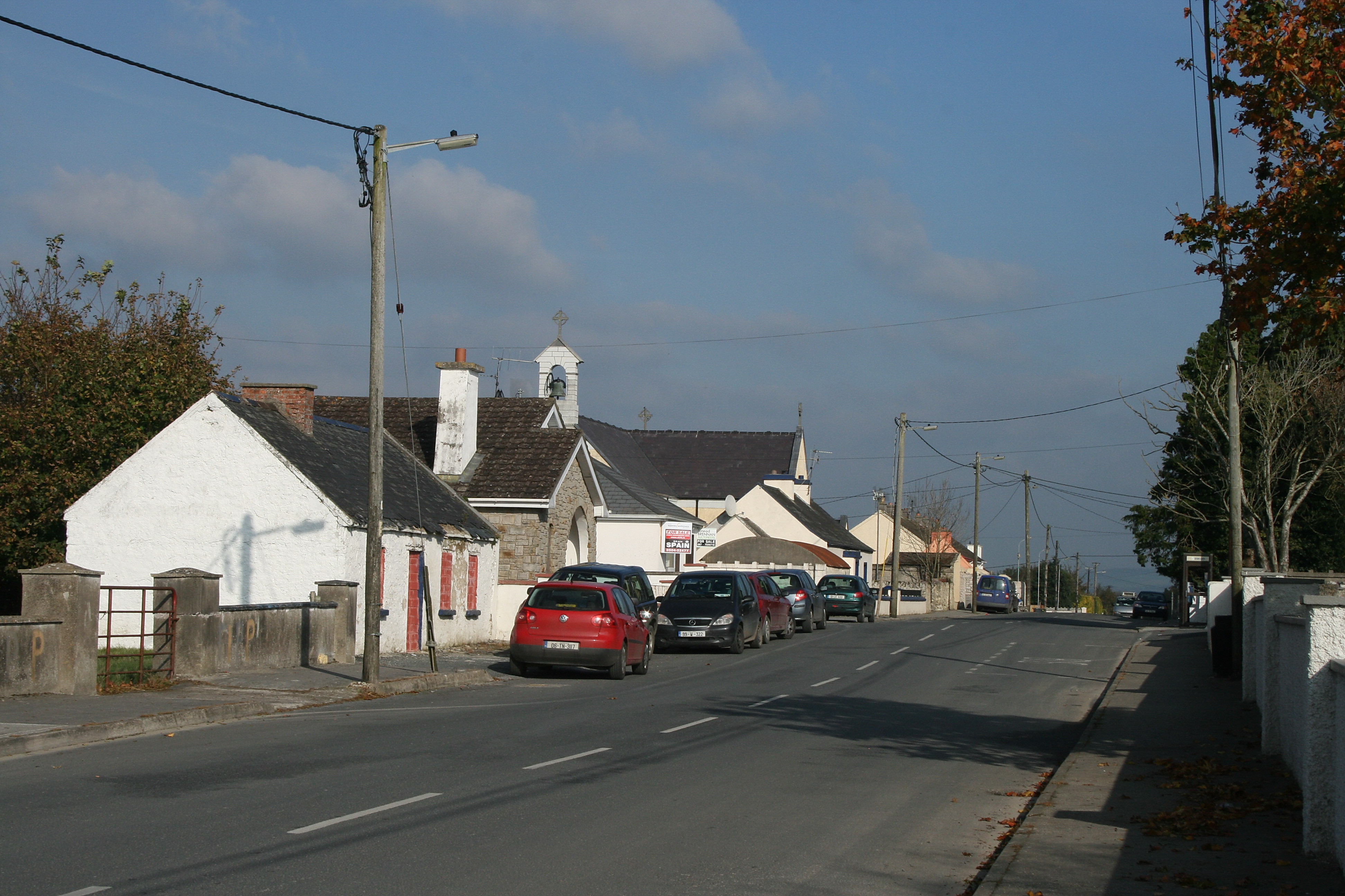 RaheenroeEnclosure · 1.0 mi
 Ballinard CastleCastle, tower house · 1.3 mi
 CarrigdotiaMountain / peak · 1.7 mi
 CarrickbrockMountain / peak · 2.3 mi
 Silver FirSilver Fir · 3.4 mi
 European ashEuropean ash · 3.4 mi
 East GateMemorial · 3.6 mi
 Clare Br.Bridge · 1561 yd
Other information
Photo: Credit not shown in the picture search · Rights wording not checked; contact us if this picture should be removed