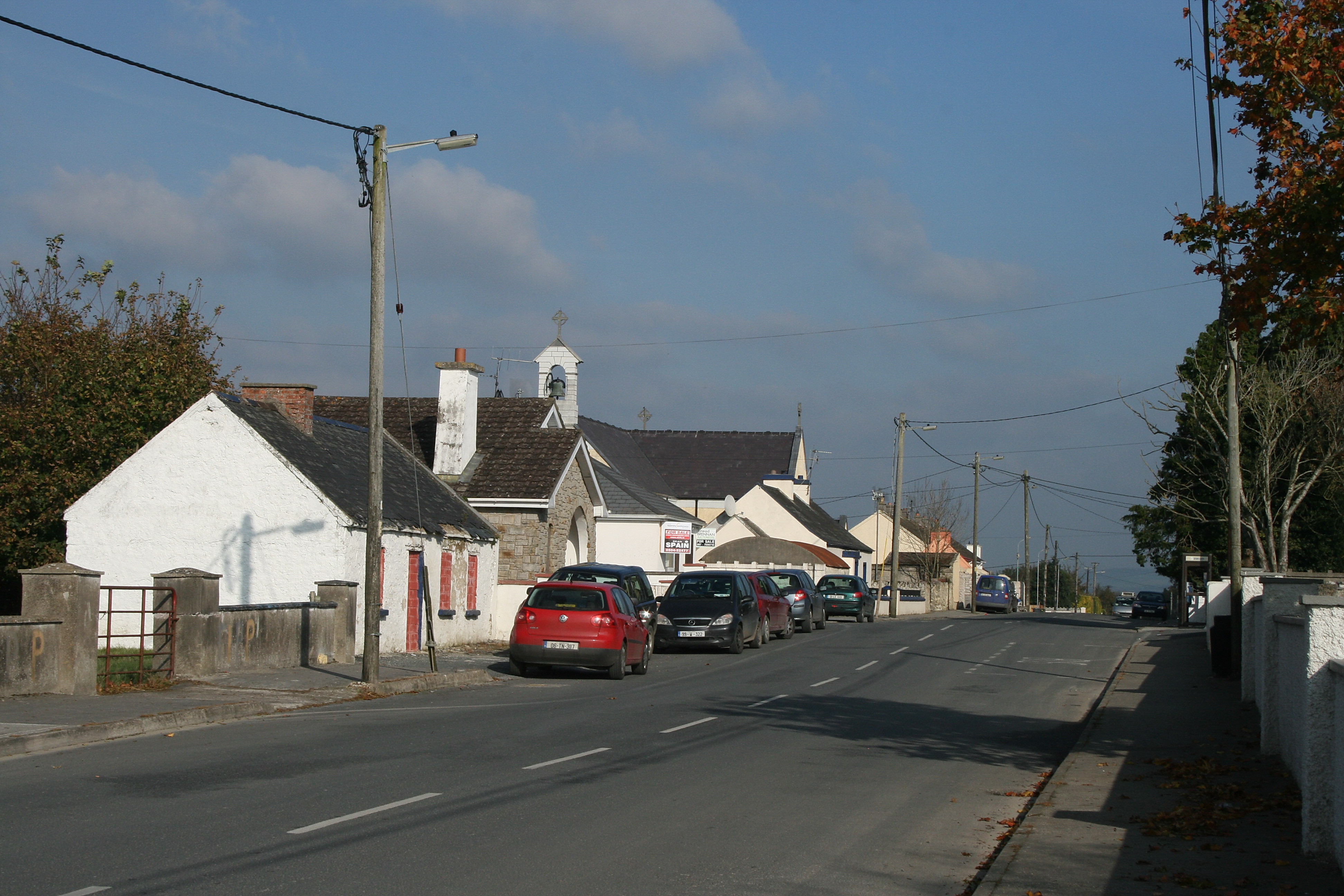
What is recorded here
In level pasture in NW corner of field. Remains of sub-circular area (dims. 24m N-S; 28m E-W) defined by scarp (Wth 2.7m; H 1.7m) SW-N-ENE and levelled ENE-SW. External fosse (basal Wth 1.4m; overall Wth 5.6m; D 0.75m) SW-N-ENE. Field fence traverses interior between the surviving terminals of monument at SW and ENE: two-thirds within is under long grass and remaining one-third is incorporated into rest of field as pasture. Named 'Raheenroe' on latest edition OS six-inch map. Enclosure (TS070-113----) located 260m to SW.
Compiled by: Jean Farrelly
Date of upload: 26 August 2011
The monument record does not grant public access. Check the route and ask the landowner before entering private land.
- What survives
- Recorded monument
Places near here
 Enclosure in Ballinard (cloneen Par.),milestownEnclosure · 811 yd
 Ballinard CastleCastle, tower house · 892 yd
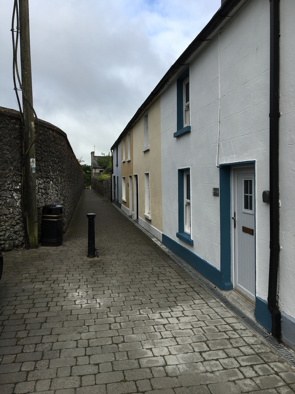 Enclosure in MilestownEnclosure · 989 yd
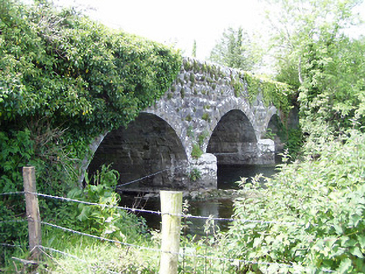 Melbourne Bridgebridge · 1501 yd
 mill (water)mill (water) · 1539 yd
 Clare Castle (in ruins)Castle, hall-house · 1.1 mi
 Pedunculate OakPedunculate Oak · 2.3 mi
 CarrigdotiaMountain / peak · 2.5 mi
 Kilknockan HillMountain / peak · 2.6 mi
 East GateMemorial · 2.7 mi
 European YewEuropean Yew · 2.9 mi
 Gobban Saer's GraveArchaeological place · 9.8 mi
Other information
Photo: Credit not shown in the picture search · Rights wording not checked; contact us if this picture should be removed