What is recorded here
St. Patricks Well in County Louth appeared on the 1835 and 1938 OS 6-inch maps, a small ritual marker in the green countryside. By 1966 the ASI found it buried beneath a public pump, the ancient water hidden under modern convenience. Perhaps people stopped visiting when the well disappeared from sight, or perhaps they simply forgot the old name while drinking from the new tap.
Marked 'St. Patrick's Well' on the 1835 and the 1938 'OS 6-inch' maps. Covered over with a public pump when inspected by ASI in 1966.
Compiled by: Claire Breen
Date of upload: 24 August 2012
St. Patrick's Well is traditionally associated with the patron saint of Ireland, St. Patrick, and like many such wells, may have been linked to early Christian pilgrimage and healing practices. The well's name and survival on official maps suggest a long-standing local reverence, though its specific folklore or curative associations are not recorded.
The monument record does not grant public access. Check the route and ask the landowner before entering private land.
- What survives
- Recorded monument
Places near here
 St. Patricks StoneRitual site, holy/saint's stone · 19 yd
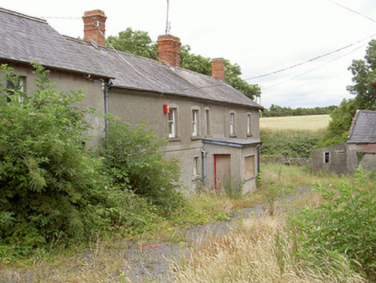 farm housefarm house · 832 yd
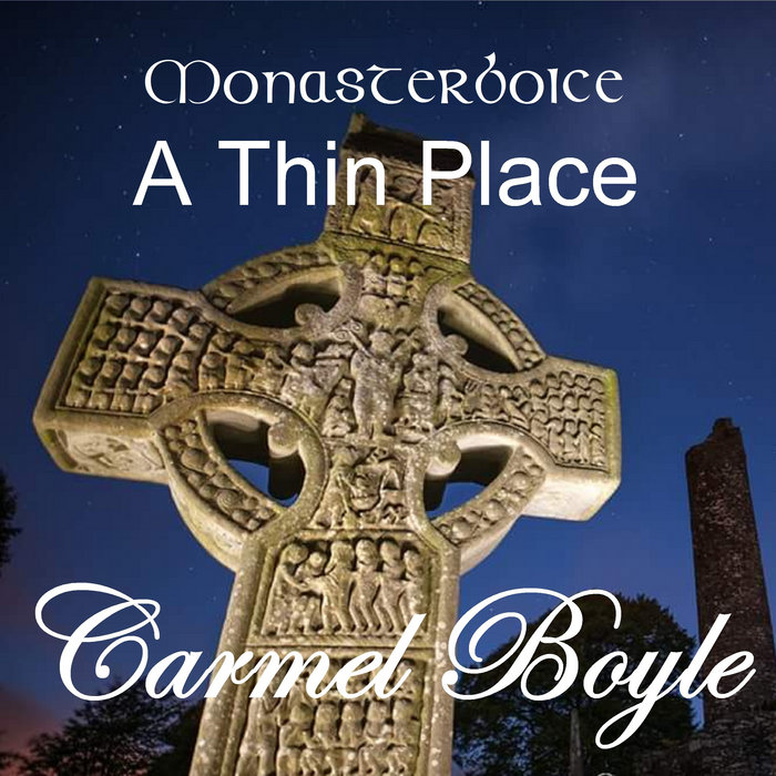 Toberboice WellHoly well · 958 yd
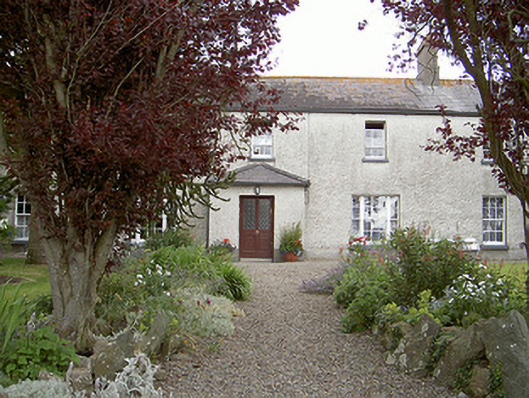 Drybridge Househouse · 1210 yd
 Yellow IslandIslet · 1537 yd
 Grove IslandIslet · 1.2 mi
 Newgrange Business ParkMemorial · 1.5 mi
 The ThoselMemorial · 1.5 mi
 Siege of Droghedasiege · 1.5 mi
 Millmount MuseumMuseum · 1.6 mi
 Battle of the Boyne Visitor CentreMuseum · 1.7 mi
 European YewEuropean Yew · 1.8 mi