What is recorded here
Mell holds a broken earthen ring where two fosses curve across a south-facing slope. The gap suggests invasion, decay or transformation rather than ordinary abandonment. A complete fort would have stood as a small local boundary, marking territory, resistance or identity.
Located towards the top of a S-facing slope. An arc (int. diam. c. 20m E-W; ext. diam. c. 25m) of two fosses curving SW-N-ENE is visible only on Apple Maps, which utilises a survey conducted by Bluesky International during June 2018. It was first reported by Anthony Murphy.
See the attached enhanced aerial view from Apple Maps
Compiled by: Michael Moore
Date of upload: 24 January 2020
The monument record does not grant public access. Check the route and ask the landowner before entering private land.
- What survives
- Recorded monument
Places near here
 St. Patricks StoneRitual site, holy/saint's stone · 414 yd
 Toberboice WellHoly well · 761 yd
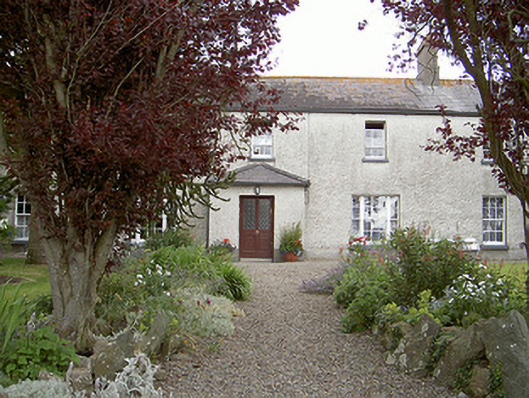 Drybridge Househouse · 1060 yd
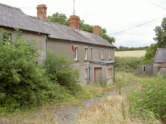 farm housefarm house · 1091 yd
 Yellow IslandIslet · 1237 yd
 Grove IslandIslet · 1.0 mi
 Newgrange Business ParkMemorial · 1.3 mi
 The ThoselMemorial · 1.5 mi
 Siege of Droghedasiege · 1.5 mi
 Millmount MuseumMuseum · 1.6 mi
 Battle of the Boyne Visitor CentreMuseum · 1.6 mi
 European YewEuropean Yew · 1.6 mi