What is recorded here
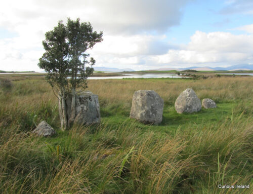
Situated on a fairly level landscape and on the demesne of Drewstown House, which is c. 850m to the SW. A large stone (max. dims c. 3.25m x c. 1.42m; T c. 0.6m) was described (Adams 1958, 55-6) as lying separate from and probably to the NW of a large roofstone (dims c. 3.95m x c. 2.64m; T 0.75m) that was supported on two or three stones, one of which was broken. The tomb had been briefly described but not drawn by the antiquarian Austin Cooper c. 1790 (Price 1942, 125), and it was removed in land reclamation c. 1964. Herity (1974, 244) lists it amongst the passage tombs of Co. Meath.
The above description is derived from the published 'Archaeological Inventory of County Meath' (Dublin: Stationery Office, 1987). In certain instances the entries have been revised and updated in the light of recent research.
Compiled by: Michael Moore
Date of revision: 27 February 2019
Megalithic tomb, likely portal dolmen, dating to the Neolithic or early Bronze Age. Its association with a large standing stone suggests ritual or funerary significance, though specific details remain unclear.
The monument record does not grant public access. Check the route and ask the landowner before entering private land.
- What survives
- Recorded monument
Places near here
 Doyle's WoodWood · 172 yd
 Carman WoodWood · 385 yd
 IndicatedEnclosure · 933 yd
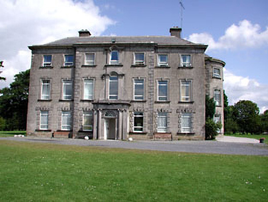 Drewstown Housecountry house · 961 yd
 CastleCastle, motte · 1423 yd
 Drewstown LittleMountain / peak · 1504 yd
 CloncatMountain / peak · 1575 yd
 St. Margaret's Church Girley (C of I) site ofArchaeological place · 1676 yd
 BoglandMemorial · 1729 yd
 Old ChurchChurch · 1.0 mi
 Causey FarmHeritage attraction · 1.2 mi
 FarmaphobiaHeritage attraction · 1.2 mi