What is recorded here
Fifty metres of green grass mark a forgotten circle on the north bank of the Blackwater, watching the water bend across from Castlekeeran. The ditch has vanished beneath the soil, yet the grass still withers in that exact shape during summer heat. Perhaps people danced, hid or prayed inside that lost ring before the river carried their names away.
Located on a slight rise on the NW bank of the NW-SE River Blackwater, at a point where it changes direction from NW-SE to WSW-ENE. The stream is c. 110-135m distant SE-WSW and it is also just across the river from the early church site of Castlekeeran (ME016-006----). The parchmark in grass of a circular area (int. diam. c. 53m E-W; c. 50m N-S) defined by what is probably a continuous fosse (Wth c. 5m) is visible on Apple Maps (2018). It is also less clearly visible on OSI images (1995) and Google Earth (02/07/2018), and it was first reported by Jean Charles Caillere.
See the attached enhanced view from Apple Maps (2018)
Compiled by: Michael Moore
Date of upload: 24 June 2021
The monument record does not grant public access. Check the route and ask the landowner before entering private land.
- What survives
- Recorded monument
Places near here
 ChapelChurch · 315 yd
 CrossCross, High cross · 327 yd
 Grave YardGraveyard · 330 yd
 HawthornHawthorn · 711 yd
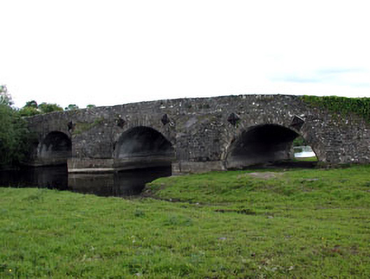 bridgebridge · 1004 yd
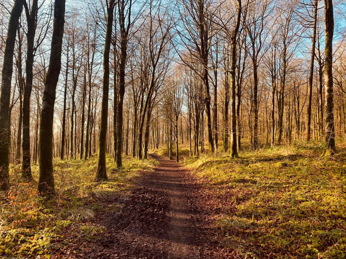 Ballynamona ForestForest · 1657 yd
 MoatCastle, motte and bailey · 1.4 mi
 MaperathMountain / peak · 1.8 mi
 The Kieran Flanagan WayMemorial · 1.9 mi
 Great Famine ProjectMemorial · 1.9 mi
 MountainpoleMountain / peak · 2.0 mi
 Balgree MoteCastle, motte · 2.5 mi