What is recorded here
Fairy fort in Meeltanagh, County Longford: a 38m circular rath in low pasture, its earth-and-stone bank worn to half a metre in places while a sharper scarp still marks the rest. The entrance may have faced east or southwest, but neither opening survives clear enough to point at. A possible moated site touches it at the northwest, as if two old defenses had grown together under grass and rain.
In poorly drained, low-lying pasture. A raised circular area (diam. c. 38m) enclosed from NE-S-SW by a partially denuded low bank of earth and stone (Wth 4-4.5m; H 0.4-0.5m) and elsewhere defined by a scarp (H 1-1.1m). A report in 1976 (SMR file) recorded a fosse and noted that the original entrance may have been either at E or SW. Neither of these features is identifiable. Adjoining the rath at NW is a possible moated site (LF019-107002-).
Compiled by: Patrick F. O'Donovan
Date of upload: 4 February 2012
The monument record does not grant public access. Check the route and ask the landowner before entering private land.
- What survives
- Recorded monument
Places near here
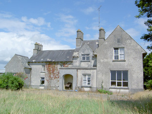 Sleehaun Househouse · 1102 yd
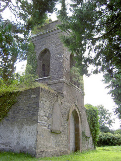 Saint Anne's Church (Kilglass)church/chapel · 1289 yd
 IndicatedEnclosure · 1330 yd
 Enclosure in Cross (ardagh By.)Enclosure · 1.1 mi
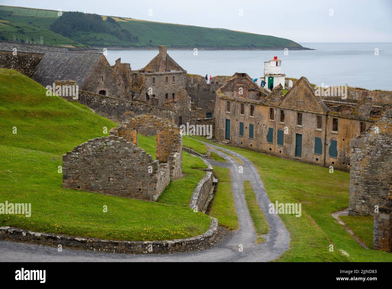 Fort, MoataphucaCastle, motte · 1.7 mi
 Pedunculate OakPedunculate Oak · 1.8 mi
 CastleCastle, motte · 2.1 mi
 Common AlderCommon Alder · 2.4 mi
 Abbeyshrule AbbeyRuins · 4.6 mi
 National Famine WayWalking route · 4.6 mi
 Graveyard in Curry (ardagh By., Coolamber Ed)Graveyard · 7.6 mi
 Granard MotteMotte-and-bailey castle remains · 11 mi