
What is recorded here
Half-buried on a south-west slope in Druminiskin, Black Fort keeps its best lines on the south-east arc, where a metre-high inner bank, a wide ditch and a faint outer ridge still draw a shallow circle through the grass. A two-metre ramp cuts that arc, suggesting people and animals once entered without ceremony. The western half has surrendered to a field bank, yet the name remains proudly martial, as if darkness were needed to make the fort worth remembering.
Black Fort is recorded as a archaeological place in County Meath. Its open map record supplies this location and any linked names or public references.
Places near here
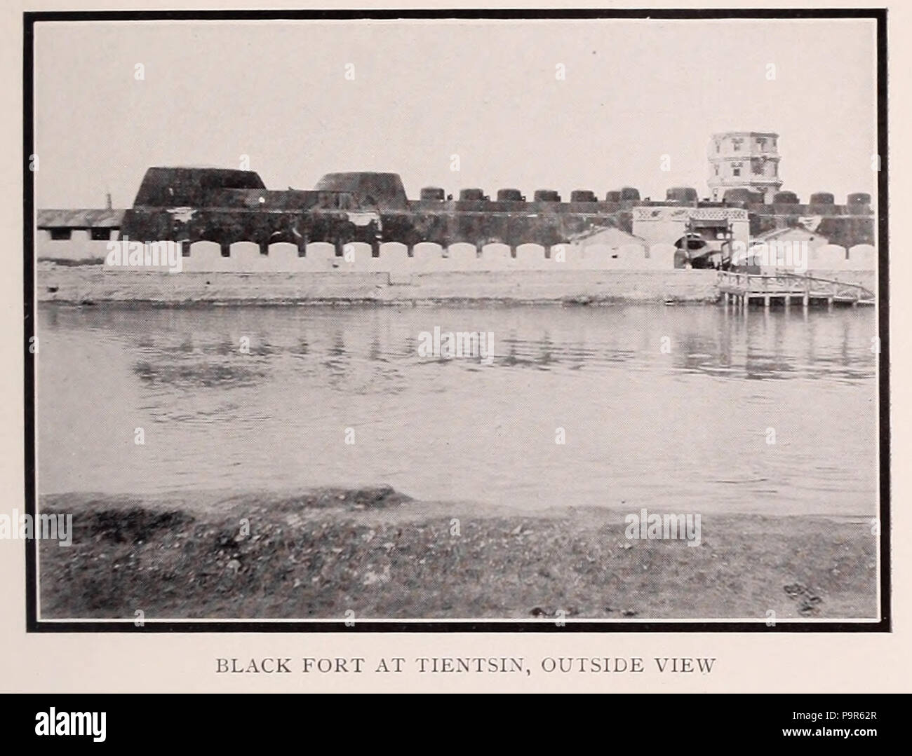 Black FortFairy fort / earthen ringfort · 17 yd
 Tullyarran FortFairy fort / earthen ringfort · 734 yd
 CastleCastle, tower house · 1216 yd
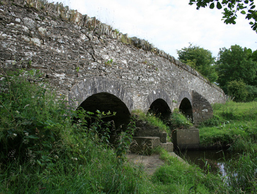 Annesbrook Bridgebridge · 1.2 mi
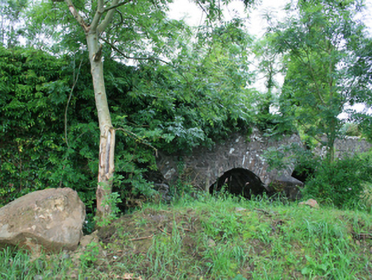 Skearke Bridgebridge · 1.5 mi
 Sit of Old CastleCastle, unclassified · 1.6 mi
 UghtyneillMountain / peak · 2.5 mi
 Sally IslandIslet · 2.8 mi
 North Mullaghmore WoodWood · 2.9 mi
 Cornaglare or PalmiraMountain / peak · 2.9 mi
 Crow IslandIslet · 3.0 mi
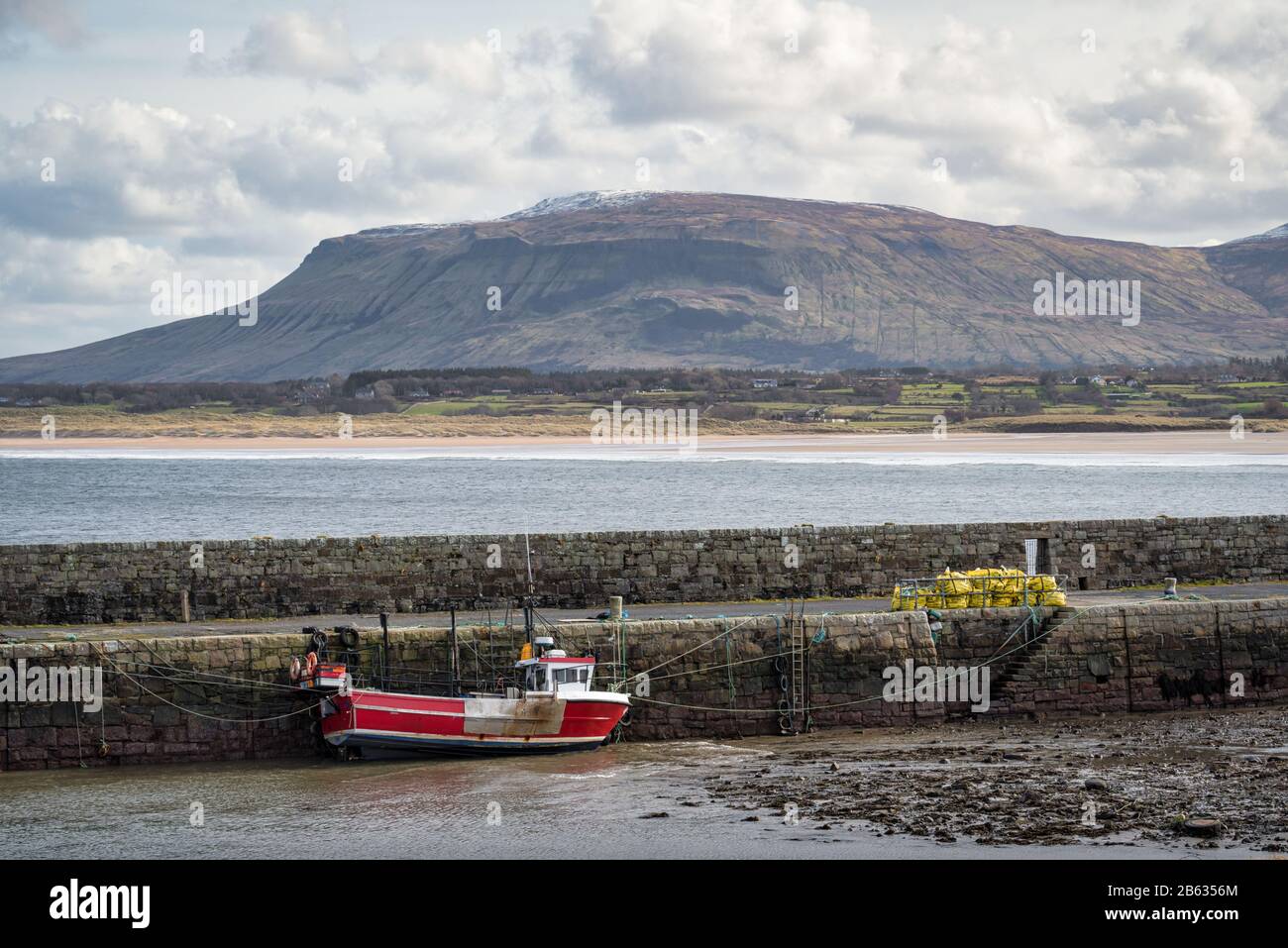 South Mullaghmore WoodWood · 3.0 mi
Other information
Photo: Credit not shown in the picture search · Rights wording not checked; contact us if this picture should be removed