
What is recorded here
Baltrasna Fort in County Meath presents two concentric oval scarps on a grass-covered rock outcrop, yet remains officially uncertain whether human hands ever shaped it. The outer ring spans eighty-six metres among deciduous trees, while the inner platform measures fifty-eight metres with a western scarp rising just over a metre. Inside the inner platform at its southern end survive the foundations of a small house roughly three point six by three point three metres, marked by low earthen banks and a western wall footing. Someone clearly chose this ambiguous place for building, even if the wider ring may be natural. A woman named Beryl Moore once reported a souterrain there, but later examination found no trace of any underground passage.
Baltrasna Fort is recorded as a archaeological place in County Meath. Its open map record supplies this location and any linked names or public references.
Places near here
 IndicatedEnclosure · 179 yd
 Limekiln WoodWood · 720 yd
 Grandgate WoodWood · 740 yd
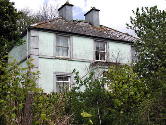 Riverviewhouse · 1377 yd
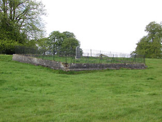 graveyard/cemeterygraveyard/cemetery · 1397 yd
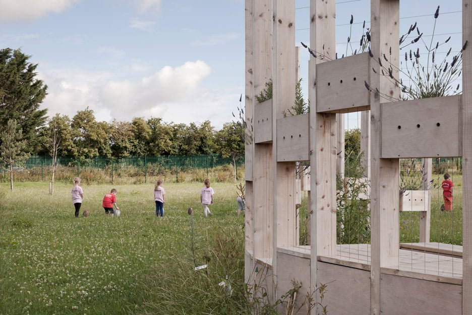 Moynalty Hedge SchoolArchaeological place · 1454 yd
 Moynalty Steam Threshing MuseumMuseum · 1456 yd
 Castle (in Ruins)Castle, unclassified · 1.7 mi
 MountainpoleMountain / peak · 1.8 mi
 MaperathMountain / peak · 1.8 mi
 MoatCastle, motte and bailey · 2.1 mi
 John Mac MahonMemorial · 2.3 mi
Other information
Photo: Credit not shown in the picture search · Rights wording not checked; contact us if this picture should be removed