What is recorded here
The Down Survey (1655-6) map shows a dwelling roughly north of Mayne bridge.The exact location of this site is unknown.
Compiled by: Geraldine Stout
Date of upload: 26 August 2011
The monument record does not grant public access. Check the route and ask the landowner before entering private land.
- What survives
- Recorded monument
Places near here
 Enclosure in MaynetownEnclosure · 82 yd
 Earthwork in MaynetownEarthwork · 368 yd
 Strand Mill RuinsRuins · 833 yd
 RoadRoad, road/trackway · 925 yd
 Baldoyle Estuary Nature ReserveNature reserve · 1193 yd
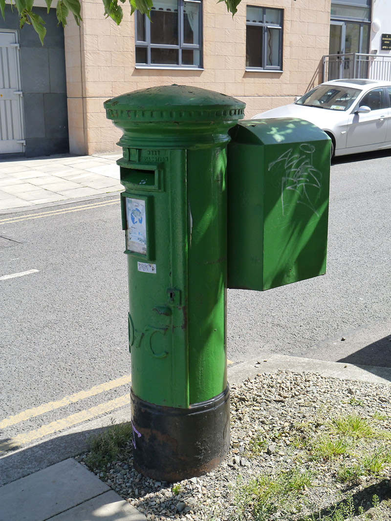 post boxpost box · 1382 yd
 Map of Baldoyle Industrial EstateVisitor information · 1760 yd
 Portmarnock BeachBeach / strand · 1.1 mi
 St Catherine's WellSpring · 1.5 mi
 Black WoodWood · 1.6 mi
 Graveyard in Kilbarrack LowerGraveyard · 1.7 mi
 MoatCastle, motte and bailey · 1.8 mi