
What is recorded here
A previously unrecorded medieval roadway was partially excavated (Licence no. 08E0376) in advance of car park construction. Located 200m W of the medieval settlement (DU015-136----), the roadway is orientated N – S and extends beyond the limits of the development site that was investigated. The excavated section, 35m in length, consisted of a compact metalled surface (3-3.5m in width) flanked on either side by ditches (1.2m – 1.6m wide). (Moriarty 2009, 113)
Compiled by: Christine Baker
Date of upload: 6 February 2015
The monument record does not grant public access. Check the route and ask the landowner before entering private land.
- What survives
- Recorded monument
Places near here
 MoteMound · 169 yd
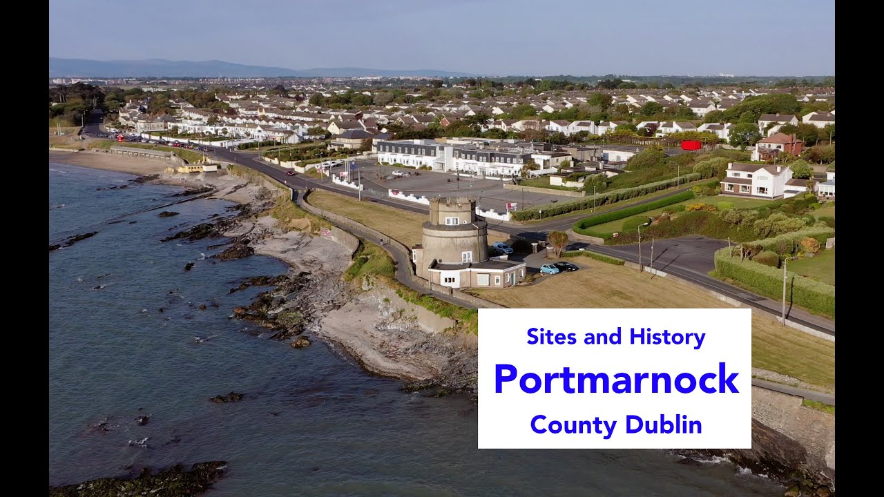 Enclosure in PortmarnockEnclosure · 170 yd
 Strand Mill RuinsRuins · 577 yd
 Saint Marnock's Church (Portmarnock)church/chapel · 797 yd
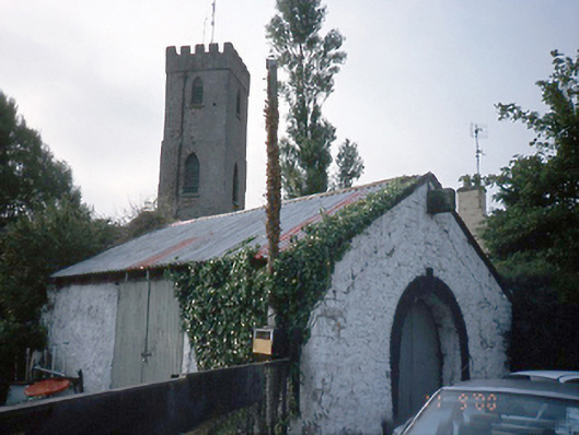 forge/smithyforge/smithy · 824 yd
 Black WoodWood · 1.2 mi
 Baldoyle Estuary Nature ReserveNature reserve · 1.2 mi
 St Catherine's WellSpring · 1.2 mi
 Portmarnock BeachBeach / strand · 1.3 mi
 MoatCastle, motte and bailey · 1.4 mi
 Map of Baldoyle Industrial EstateVisitor information · 1.4 mi
 CastleCastle, unclassified · 1.9 mi
Other information
Photo: Credit not shown in the picture search · Rights wording not checked; contact us if this picture should be removed