This flat-topped mound is located on a slight rise and enjoys extensive views of the coast but restricted views to the north. The mound is oval in plan (dims. 27m N-S; 14m E-W; H 3.5m). Morris (1939, 182-3) has associated this site with the burying place of 'Maine' 'son of Medb and Ailill' which is mentioned in the Metrical Dindsenchus. Originally the monument may have been considerably larger as according to a local landowner it was severely damaged in the early 1970s when an attempt was made to level it during field clearance works. In 2007 vegetation was removed and a topographical survey of the mound undertaken. Two test-trenches were hand-excavated (Licence no. 07E0754) into the eastern side of the mound and revealed the mound had been severely disturbed by modern activity. Intact mound deposits did survive and comprised dumped clay that contained infrequent pieces of shell and charcoal as well as occasional sherds of medieval pottery, suggesting that the mound may in fact be medieval in date and may be associated with the medieval village to the north-east (Moriarty 2008:477 www.excavations.ie). test excavation south of the mound identified an oval enclosure, the possible bailey associated with the mound. A landscaping plan was developed for the mound's preservation in open space but the development has yet to take place. In 2016 archaeological excavation by Gill McLoughlin of Courtney Deery Heritage Consultancy Ltd under licence No. 16E0613 was carried out on the cropmark site (
DU015-014001-) to the SE of the mound and the results were sumarised as follows; 'A residential development has been completed where the monument stood. The northern portion of the monument is preserved in situ within a 20m buffer zone around mound DU015-014----, which has been developed as a green space with play area and information signage. The majority of the monument has been removed under excavation licence 16E0613 in advance of development. The line of the enclosure ditch where it is preserved below ground within the buffer zone around mound DU015-014----, is delineated by hard and soft landscaping. The site was visible on aerial photography and was tested (07E0574, Moriarty). Further testing was carried out during the excavation of an adjacent enclosure (16E0101, McLoughlin) and with the exception of the portion preserved in situ with the buffer zone for the mound, full excavation was carried out under licence ref 16E0613. Carried out pre-planning. The Phase 1B (Area 3) enclosure site has now been backfilled and built upon. The northern portion of the
enclosure within the 20m buffer zone area surrounding the upstanding mound (DU015‐014---) remains in situ
and will be incorporated into the landscaping plans for the mound. These works will be archaeologically
monitored. In 2000 a programme of archaeological investigation under licence No. 00E0732 was carried out to determine the extent of archaeological remains in advance of a planning application for development on lands owned by Sherman Oaks Ltd. Testing was carried out around known monument DU015‐014----, and comprised five test‐trenches excavated 20m from the base of the Portmarnock mound (DU015‐014----) to establish a suitable buffer zone around this monument. No archaeological finds or features were revealed in test‐trenches 1–4. Trench 5 was specifically placed to test the location of a possible enclosure indicated on aerial photography. A small portion of a ditch‐type feature was uncovered 50m south‐east of the mound in trench 5. This feature measured 1.9m wide and 0.32m deep and contained occasional flecks of charcoal, small fragments of bone and fragments of shell. Further investigation was recommended to establish if this feature was of archaeological significance, however this feature did not appear to correspond with the enclosure indicated on aerial photography. In 2002 a geophysical survey was carried out on the Sherman Oaks Ltd owned lands including the Phase 1B excavation area. Nicholls noted several anomalies of probable interest to the southeast of DU015‐014---. A detailed survey was undertaken in Area 3 to investigate these responses and the survey area was expanded in an effort to determine the location of an elliptical cropmark evident on aerial photographs. A concentration of weak ditch‐ and pit‐type responses were recorded in the eastern half of the survey area, and numerous linear trends were also apparent in the data. Together, these responses corresponded with the approximate location of the elliptical cropmark noted to the south of DU015‐014----. One faint curvilinear ditch type response approximately 20m from the south eastern corner of the sample block may indicate the remains of a former enclosure ditch. In 2008 small scale test excavations were undertaken within the footprint of the mound DU015‐014--- (Moriarty 2009) and a detailed topographical survey of the site was undertaken as part of these works. The mound measures c. 27m by 14m and is at least 3m in height. Two test trenches revealed severe modern disturbance of the mound. The intact material contained some shell and occasional sherds of medieval pottery which led the excavator to suggest a later date for this feature than previously thought (ibid.)' (Wallace 2000; Moriarty 2009; McLoughlin 2019). See attached photographs and plan of site courtesy of and © Gill McLoughlin of Courtney Deery Heritage Consultancy Ltd. Moriarty, C. 2009 Final Report Archaeological Excavations at Portmarnock Mound (DU015-014----) and the
Maynetown enclosure (DU015‐055----), Co. Dublin (Licence No.: 07E0574). Unpublished report prepared by
Margaret Gowen and Co. Ltd for Ballymore Residential Ltd. McLoughlin, G. 2019 Final Archaeological Excavation Report, Station Road, Portmarnock, Excavation Licence No. 16E0613. Unpublished archaeological report submitted by Courtney Deery Heritage Consultancy Ltd. to the National Monuments Service on behalf of Sherman Oaks Ltd. Nicholls, J. 2002 Geophysical Survey: Baldoyle/Portmarnock Co. Dublin. Margaret Gowen & Co. Ltd. Licence No. 02R0020. Wallace, A. 2000 Archaeological assessment: Portmarnock mound, DU015:014, Portmarnock, Co. Dublin. Margaret Gowen & Co. Ltd. (unpublished). Date of revised upload: 20 June 2023
 Earthwork in Snugborough (coolock By.)Earthwork · 874 yd
 Saint Marnock's Church (Portmarnock)Church/chapel · 930 yd
 Mapped graveyardGraveyard · 930 yd
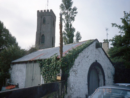 forge/smithy956 yd
 Enclosure in KinsaleyEnclosure · 1490 yd
 Grange AbbeyHouse, 16th/17th century · 1498 yd
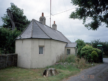 Kinsealy HallGate lodge · 1504 yd
 Enclosure in Unknown TownlandEnclosure · 1638 yd
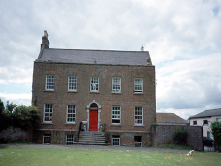 Kinsaley HouseHouse · 1664 yd
 Father Collins ParkPark · 1739 yd
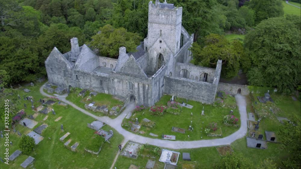 Church in ruins, GraveyardChurch · 1.0 mi
 CastleCastle, unclassified · 1.1 mi

What do you know about this place?Tap to add a comment or ask a question