
What is recorded here
The site was subject to geophysical survey (Licence no. 07R0230) in advance of a proposed road realignment. It confirmed the presence of a sub circular enclosure (34m in diam.) that contains internal responses suggestive of pits and postholes (Harrison 2008, 8).
Compiled by: Paul Walsh
Updated by; Christine Baker
Date of upload: 28 January 2015
The monument record does not grant public access. Check the route and ask the landowner before entering private land.
- What survives
- Recorded monument
Places near here
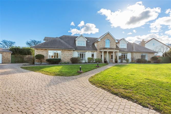 Enclosure in DrumnighEnclosure · 379 yd
 Earthwork in MaynetownEarthwork · 446 yd
 Strand Mill RuinsRuins · 787 yd
 RoadRoad, road/trackway · 846 yd
 Baldoyle Estuary Nature ReserveNature reserve · 1275 yd
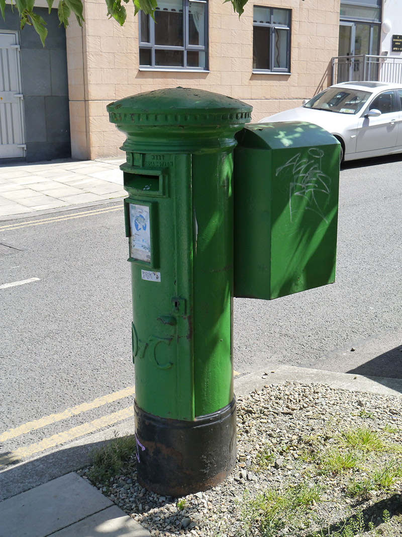 post boxpost box · 1381 yd
 Map of Baldoyle Industrial EstateVisitor information · 1.0 mi
 Portmarnock BeachBeach / strand · 1.1 mi
 St Catherine's WellSpring · 1.5 mi
 Black WoodWood · 1.5 mi
 Graveyard in Kilbarrack LowerGraveyard · 1.7 mi
 MoatCastle, motte and bailey · 1.8 mi
Other information
Photo: Credit not shown in the picture search · Rights wording not checked; contact us if this picture should be removed