What is recorded here
In tillage. A roughly circular enclosure (overall diam. c. 40m) visible as a cropmark on satellite imagery (2021 Maxar Technologies, viewed May 2021), identified and reported by Jean-Charles Caillère. Masterstown church (TS068-103---) and associated enclosure (TS068-103004-) are located c. 50m to the SW and enclosures TS068-103001- and TS068-103002- are located c. 140m to the WSW and c. 130m to the SW respectively.
See attached photograph:
TS068-152----_01 Satellite image (2021 Maxar Technologies, viewed May 2021)
TS068-152----_02 Satellite image (2021 Maxar Technologies, viewed May 2021) with neighbouring monuments indicated.
Compiled by: Jean Farrelly
Date of upload: 30 June 2021
The monument record does not grant public access. Check the route and ask the landowner before entering private land.
- What survives
- Recorded monument
Places near here
 Ecclesiastical enclosure in MasterstownEcclesiastical enclosure · 140 yd
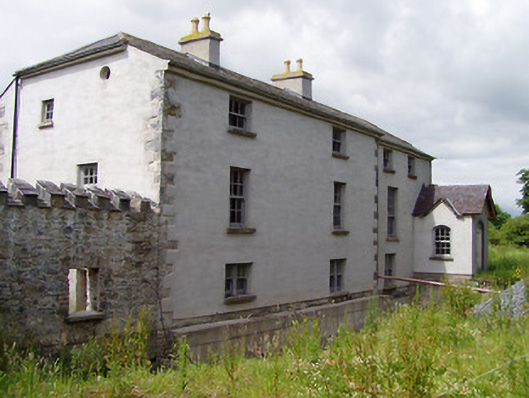 Mill Housemill (water) · 842 yd
 Hymenstown Househouse · 1098 yd
 LisheenEnclosure · 1132 yd
 Bawn in GarranleaBawn · 1289 yd
 Boytonrath Castle (in ruins)Castle, unclassified · 1.5 mi
 Caucasian zelkovaCaucasian zelkova · 3.3 mi
 Athassel PrioryHeritage attraction · 3.3 mi
 Cappa WoodWood · 4.0 mi
 Caher AbbeyHeritage attraction · 4.4 mi
 Slieveanard NE TopMountain / peak · 4.4 mi
 Siege of Cahir Castlesiege · 4.6 mi