What is recorded here
In level arable land, recently sown. Slight visible surface trace of oval area (dims. 40m N-S; c. 45m E-W) to S of linear feature (long-axis c. E-W) with slight curvature (part of field system TS068-103003-). Visible on aerial photographs (GSI S. 632 and S.660/59, 16.4.1974) as circular area of similar dimensions, adjoining field system (TS068-103003-) to N. Field boundaries shown on 1905 OS 6-inch map to S and E removed. Enclosure (TS068-096----) c. 130m to WSW, church (TS068-103----) c. 130m to N, enclosure (TS068-103001-) c. 50m to NW.
See attached photograph:
TS068-103002-_01 Satellite image (2021 Maxar Technologies, viewed May 2021)
Compiled by: Jean Farrelly
Date of upload: 26 August 2011
The monument record does not grant public access. Check the route and ask the landowner before entering private land.
- What survives
- Recorded monument
Places near here
 Ecclesiastical enclosure in MasterstownEcclesiastical enclosure · 117 yd
 Hymenstown Househouse · 946 yd
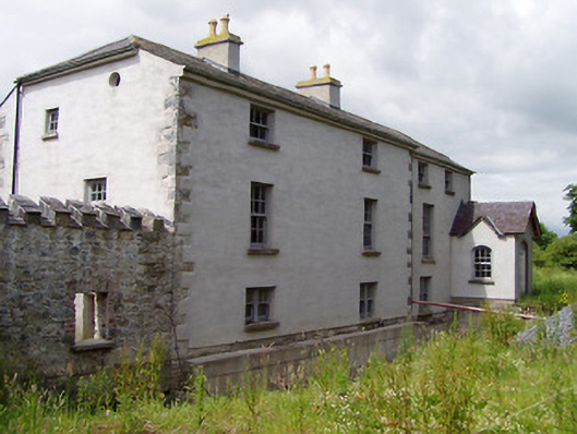 Mill Housemill (water) · 949 yd
 LisheenEnclosure · 1061 yd
 Bawn in GarranleaBawn · 1493 yd
 Boytonrath Castle (in ruins)Castle, unclassified · 1.5 mi
 Caucasian zelkovaCaucasian zelkova · 3.2 mi
 Athassel PrioryHeritage attraction · 3.3 mi
 Cappa WoodWood · 3.9 mi
 Caher AbbeyHeritage attraction · 4.3 mi
 Slieveanard NE TopMountain / peak · 4.3 mi
 Siege of Cahir Castlesiege · 4.5 mi