What is recorded here
Marcagh's Knowe is a levelled hillock in good Donegal land, perhaps marking a lost rider's monument or perhaps never more than a natural rise. It still offers excellent views, and that much is certain.
Marked as an antiquity and described as Marcagh's (the rider's?) Knowe or hill on the OS 6-inch maps. The site consists of a much levelled natural hillock. It is possible that a monument was located here but its existence or nature could not be established. It is situated in good land with excellent views.
(Kinahan 1885-86, 426).
The above description was derived from the 'Archaeological Survey of County Donegal. A description of the field antiquities of the County from the Mesolithic Period to the 17th century.' Compiled by: Brian Lacey with Eamon Cody, Claire Cotter, Judy Cuppage, Noel Dunne, Vincent Hurley, Celie O'Rahilly, Paul Walsh and Seán Ó Nualláin (Lifford: Donegal County Council, 1983). In certain instances the entries have been revised and updated.
Date of upload: 22 September 2008
The monument record does not grant public access. Check the route and ask the landowner before entering private land.
- What survives
- Recorded monument
Places near here
 Marcagh's Stable Possible EnclosureEnclosure · 530 yd
 Church in KillydesertChurch · 1216 yd
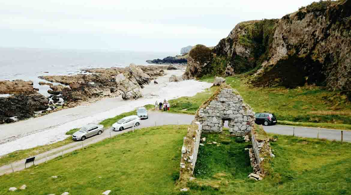 Garrowcarry Fairy FortFairy fort / earthen ringfort · 1446 yd
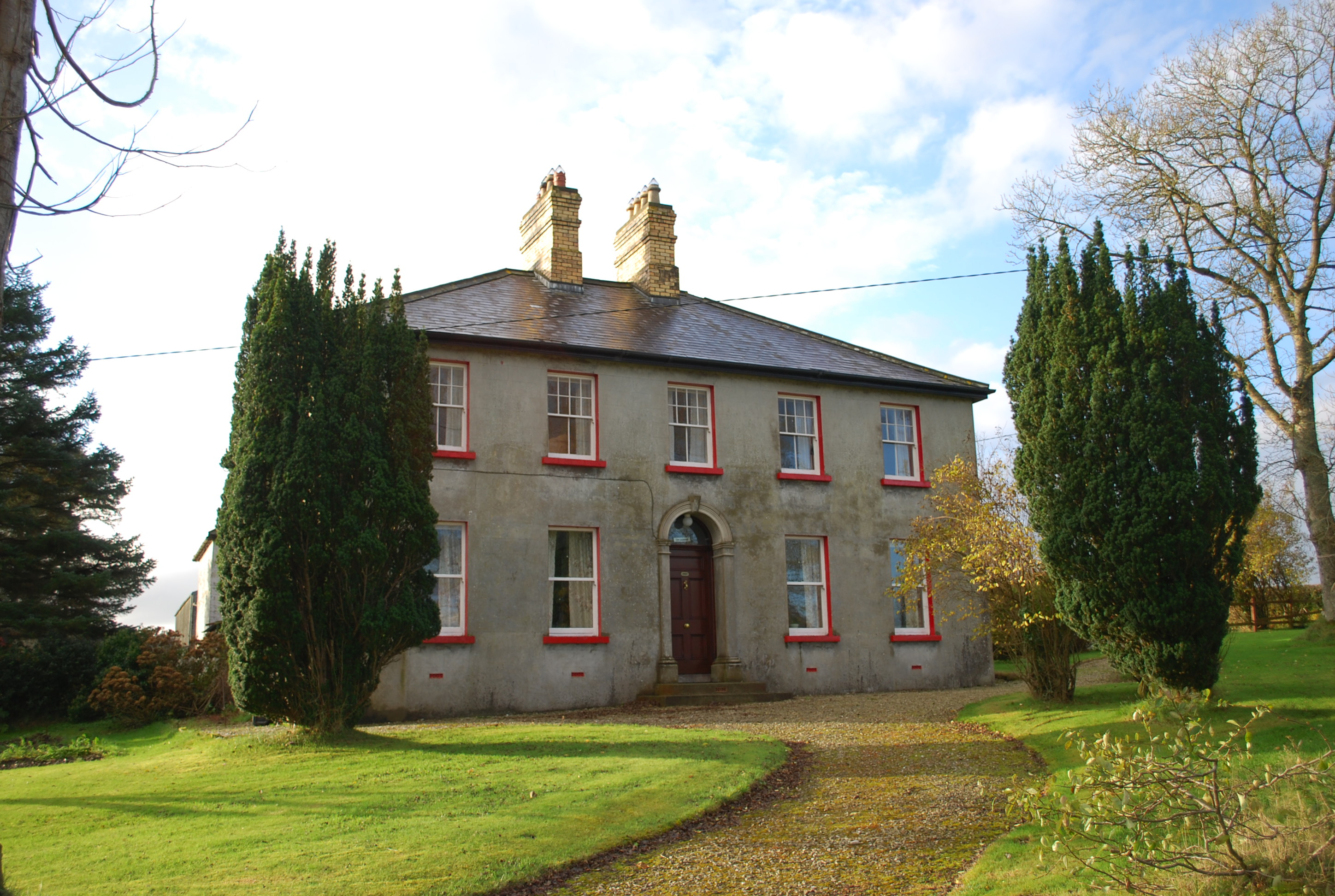 Ivy Cottagehouse · 1.5 mi
 BallykeeranForest recreation place · 2.4 mi
 Donegal County MuseumMuseum · 2.8 mi
 Gregory HillMountain / peak · 2.8 mi
 Bawn in LetterkennyBawn · 3.1 mi
 Castle (Site of)Castle, unclassified · 3.1 mi
 Silver BirchSilver Birch · 3.1 mi
 PoleStar MonumentHeritage attraction · 3.6 mi
 Stackarnagh Abbey GraveyardGraveyard · 3.8 mi