
What is recorded here
Marked as the 'site of' a church on the 2nd and 3rd editions of the OS 6-inch maps. The site consists of a heap of stones (some with encrusted mortar) 5m x 3.5m x .5m in height. A straight field wall to the E and a curving wall to the S and W partially enclose the site. Curving to the N beyond the curving field wall is a 12m stretch consisting of a basal layer of small stones which possibly represents the remains of an earlier enclosure (DG045-027002-). The interior slopes from N to S and E to W as does the surrounding land. Although there is no certain evidence of a complete circle here, the remains suggest an enclosure c. 40m in diameter. The site is located in an area of rough pasture with some rock outcrop and is concealed by overgrowth.
The above description was derived from the 'Archaeological Survey of County Donegal. A description of the field antiquities of the County from the Mesolithic Period to the 17th century.' Compiled by: Brian Lacey with Eamon Cody, Claire Cotter, Judy Cuppage, Noel Dunne, Vincent Hurley, Celie O'Rahilly, Paul Walsh and Seán Ó Nualláin (Lifford: Donegal County Council, 1983). In certain instances the entries have been revised and updated.
Date of upload: 22 September 2008
A local church or high cross; wider significance not recorded.
The monument record does not grant public access. Check the route and ask the landowner before entering private land.
- What survives
- Recorded monument
Places near here
 Marcagh's Stable Possible EnclosureEnclosure · 1429 yd
 Former Bellanascaddan Fairy FortFairy fort / ringfort · 1718 yd
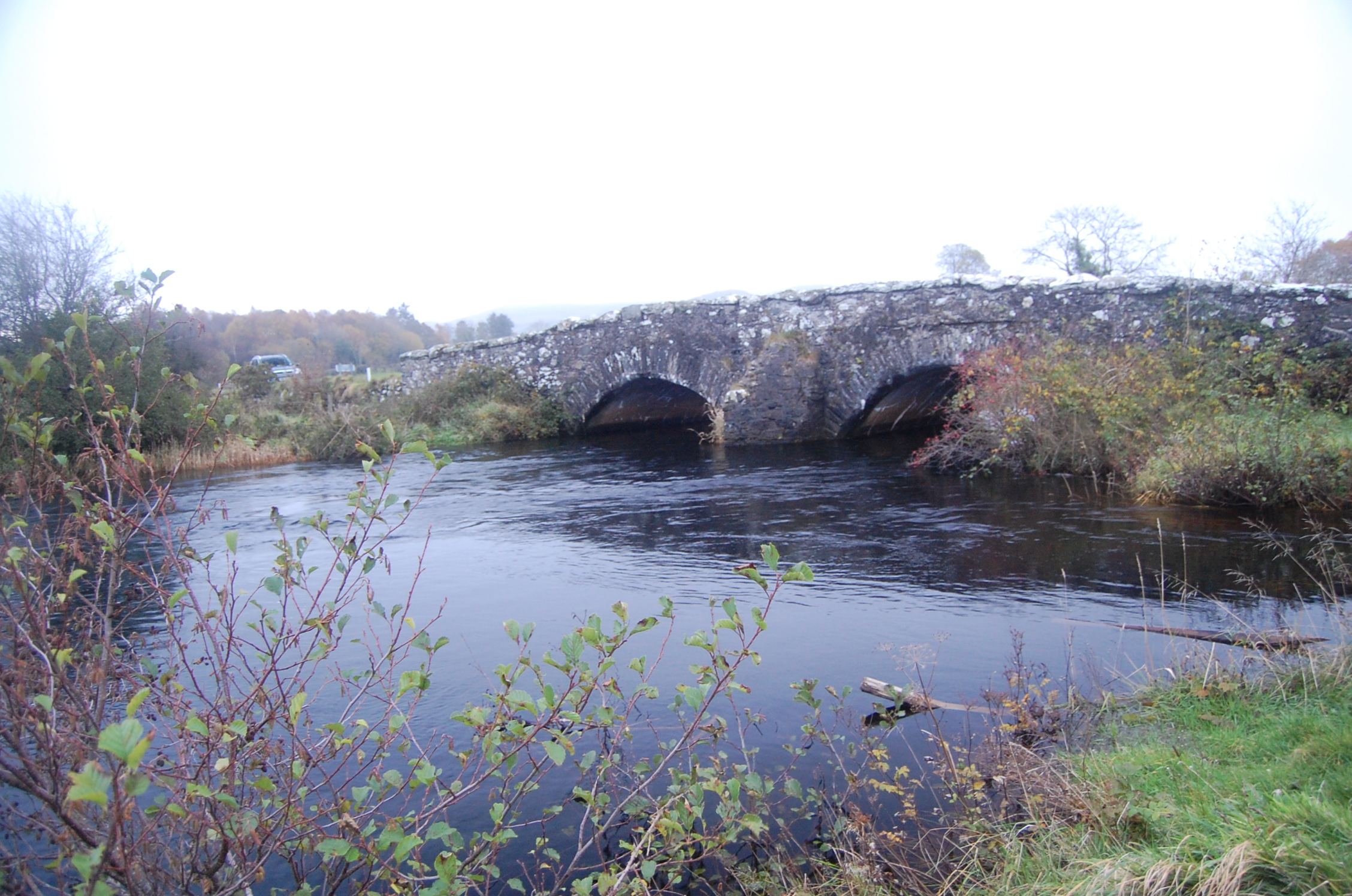 Dromore Bridgebridge · 1.4 mi
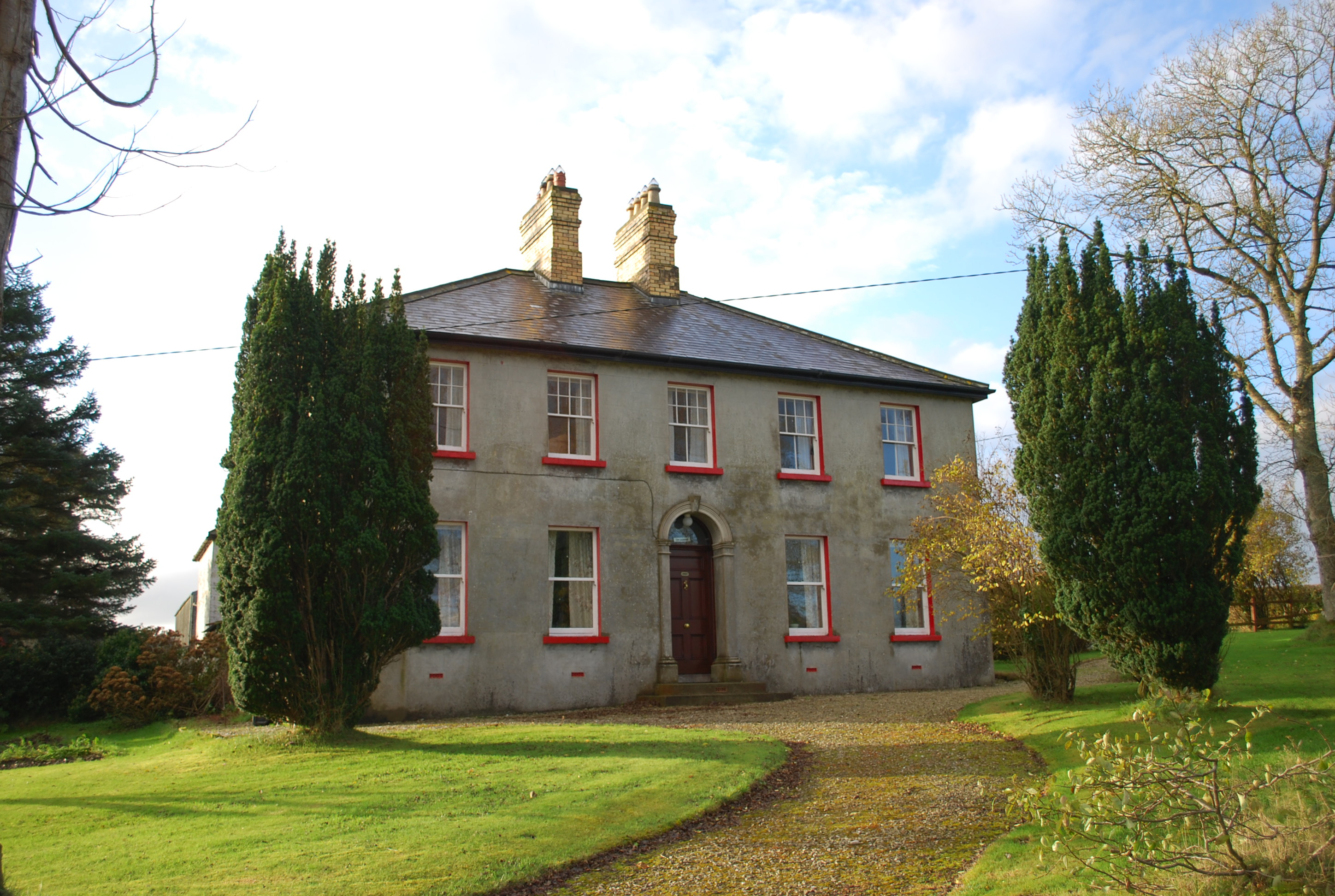 Ivy Cottagehouse · 1.5 mi
 BallykeeranForest recreation place · 1.7 mi
 Castle (Site of)Castle, unclassified · 2.4 mi
 Silver BirchSilver Birch · 2.6 mi
 Gregory HillMountain / peak · 3.4 mi
 Donegal County MuseumMuseum · 3.4 mi
 Bawn in LetterkennyBawn · 3.7 mi
 Stackarnagh Abbey GraveyardGraveyard · 4.1 mi
 PoleStar MonumentHeritage attraction · 4.1 mi
Other information
Photo: Credit not shown in the picture search · Rights wording not checked; contact us if this picture should be removed