What is recorded here
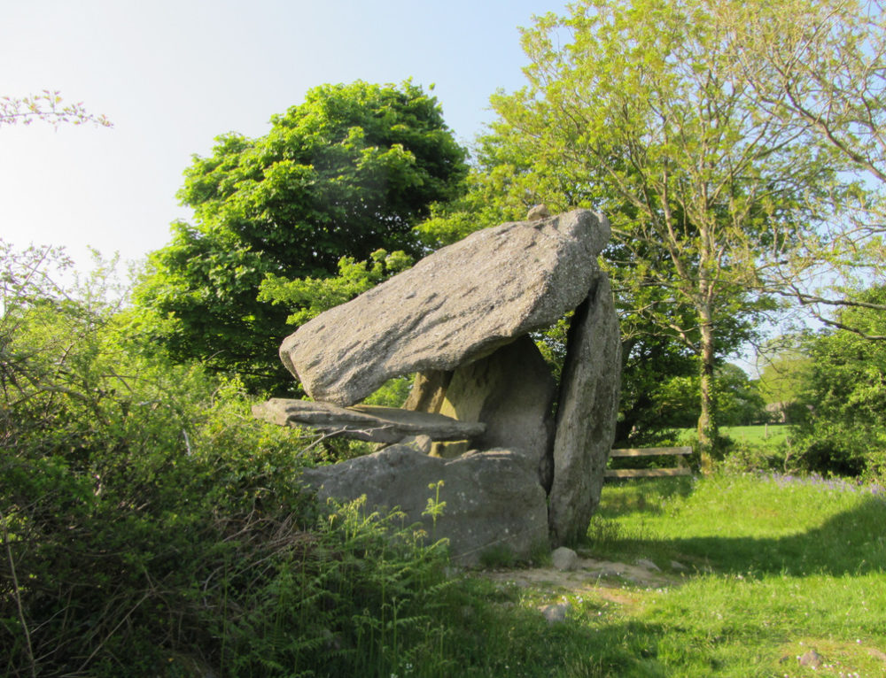
Situated to E of centre in a cashel (CL010-064018-), this collapsed Man-made underground passage (L 8m; Wth 1.3m; max. D 0.8m) is orientated ENE-WSW. Boulders and lintels fill the Man-made underground passage and a lintel is wedged in an upright position at the ENE end.
Compiled by: Gearóid Conroy and by Conn Herriott
Date of upload: 6 April 2023
The monument record does not grant public access. Check the route and ask the landowner before entering private land.
- What survives
- Recorded monument
Places near here
 Enclosure in TullycommonEnclosure · 72 yd
 MohernaglasEnclosure · 176 yd
 Castle in ruinsCastle, tower house · 1718 yd
 Father Ted's HouseHeritage attraction · 1.1 mi
 Glenquin Housefarm house · 1.1 mi
 Correen R.C. Chapel (in ruins)Church · 1.1 mi
 Burren National ParkVisitor information · 1.6 mi
 Castle (in ruins)Castle, unclassified · 1.8 mi
 Farbrega RockNamed rock · 2.3 mi
 Fergus River CaveCave · 3.7 mi
 PoulnabroneMemorial · 3.7 mi
 Poulnabrone - Burren GeositeVisitor information · 4.1 mi