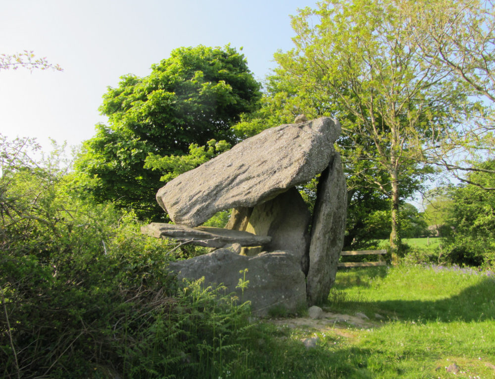
What is recorded here
In high (above the 600’ contour) rough pasture with ground rising gently to E, where a cashel (CL010-064018-) lies c. 37m away, and with wide views S-W-N . Within an extensive multiperiod field system (CL010-064001-). This circular enclosure (int. diams. 10m N-S; 9.5m E-W; ext. diam. 14.5m E-W; 12.6m N-S) is defined by a grass-covered stony bank (Wth 1-4m; int. H 0.3-0.8m; ext. H 0.4-0.7m). The interior is generally flat. A hut site (CL010-240----) lies c. 51m to the S.
Compiled by: Gearóid Conroy and Conn Herriott
Date of upload: 6 April 2023
A local fairy fort (ringfort/rath); wider significance not recorded.
The monument record does not grant public access. Check the route and ask the landowner before entering private land.
- What survives
- Recorded monument
Places near here
 MohernaglasEnclosure · 245 yd
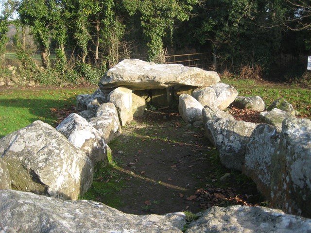 Slievenaglasha Wedge TombArchaeological place · 367 yd
 Castle in ruinsCastle, tower house · 1686 yd
 Father Ted's HouseHeritage attraction · 1.1 mi
 Glenquin Housefarm house · 1.2 mi
 Correen R.C. Chapel (in ruins)Church · 1.2 mi
 Burren National ParkVisitor information · 1.6 mi
 Castle (in ruins)Castle, unclassified · 1.8 mi
 Farbrega RockNamed rock · 2.2 mi
 Fergus River CaveCave · 3.7 mi
 PoulnabroneMemorial · 3.7 mi
 Poulnabrone - Burren GeositeVisitor information · 4.1 mi
Other information
Photo: Credit not shown in the picture search · Rights wording not checked; contact us if this picture should be removed