What is recorded here
In a rath (SL019-264001-), close to the NE arc of the enclosing bank.
A vertical lintelled opening (Wth c. 0.58m; H 0.46m) reveals a small subterranean cavity or chamber (c. 0.8m NW-SE; c. 1.2m NE-SW) with drystone sidewalls and a linteled roof. The chamber appears to be roughly D-shaped in plan, with the opening on the straight SE-facing side.
The drystone sidewalls at N and S incline inwards to support two roof lintels (in E-W row); the base of these walls is not visible due to an infill of soil. The back (NW) wall does not have stone facing, exposing an earthen ‘wall’; it seems likely that the originally stone-faced has collapsed here –much of now forming the earth and stone infill in the base of the chamber.
A small square recess (Wth 0.3m; D c. 0.45m; H 0.3m) is built into the N wall. The E and W sidewalls of the recess are each formed by a large blocky stone, the back wall is of drystone masonry using smaller stones; it is roofed with a slab. The floor is a thin slab, keyed into the E wall but barely reaching the W sidewall. Beneath this slab is another shallower cavity (H 0.15m), giving the impression that the recess is split-level.
A domed heap of earth and stones fills the base of the chamber, concealing the original floor and the base of the sidewalls. It is impossible, therefore, to determine the original height of the chamber, but it was at least 0.75m. This loose infill is highest in a central E−W spine, rising to within 0.5m of the roof lintels.
The S sidewall continues as a very low, sod-concealed wall beyond the chamber opening for 0.55m to SE, ending at a short turn to S. It partly defines the S side of a shallow surface depression (Wth c. 0.95m N−S) that extends to SE of the chamber for c. 2m before petering out. Apart from the short length of walling on the S side, mentioned above, this depression is defined at N and S by a low earthen scarp with no trace of stone facing.
The remains appear to be a Man-made underground passage. The visible ‘chamber’ is small and difficult to interpret. What we see is most likely only a portion of a larger structure and it is not possible to be certain now of its original form and extent. The infilling soil may conceal an opening to a continuation of the souterrrain NW into the rising slope, and the shallow surface depression in front chamber suggests a possible continuation to SE.
Attached images:
SL019-264002-_01.JPG Opening to Man-made underground passage viewed from SE
SL019-264002-_02.JPG Interior, S sidewall
SL019-264002-_03.JPG Earthen back wall; part of recess visible at R; infilling soil in foreground
SL019-264002-_04.JPG Recess in N wall
Compiled by: Jane O’Shaughnessy
Date of upload: 3 March 2023
The monument record does not grant public access. Check the route and ask the landowner before entering private land.
- What survives
- Recorded monument
Places near here
 Carrowgarry Househouse · 402 yd
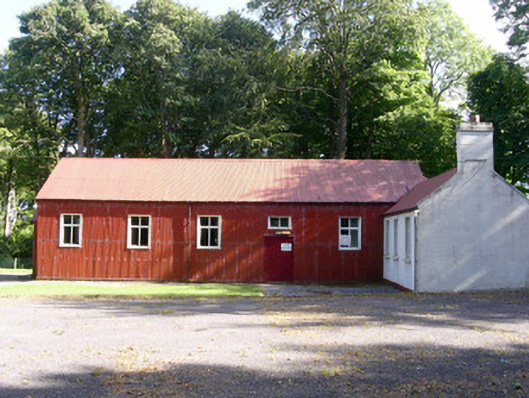 The Hallcommunity centre · 715 yd
 Enclosure in Carrowkeel (tireragh By.)Enclosure · 787 yd
 IndicatedFairy fort / earthen ringfort · 896 yd
 Bawn in Tanrego WestBawn · 1126 yd
 Giant's GraveArchaeological place · 1755 yd
 Lahanacappul IslandIslet · 1.1 mi
 Ballinlig PointHeadland · 1.3 mi
 CastleCastle, ringwork · 1.4 mi
 Portavaud PointHeadland · 1.5 mi
 European ashEuropean ash · 1.7 mi
 Pigeonpark WoodForest · 1.9 mi