
What is recorded here
Situated on a gentle E-facing slope in undulating pasture. Not marked on any edition of the OS 6-inch map. On an aerial photograph (ACP V203/118-9, Roll 125, Pr. 24, SMR file) it appears as an oblong enclosure. At the location indicated is a low, roughly oval rise (c. 27m E-W; c. 22m N-S) with a fairly level top and broadly sloping sides. This appears to be a naturally-occurring low hillock or ridge.
Compiled by: Patrick F. O'Donovan
Date of upload: 19 January 2011
The monument record does not grant public access. Check the route and ask the landowner before entering private land.
- What survives
- Recorded monument
Places near here
 Enclosure in Carrowkeel (tireragh By.)Enclosure · 318 yd
 Enclosure in LisnarawerEnclosure · 445 yd
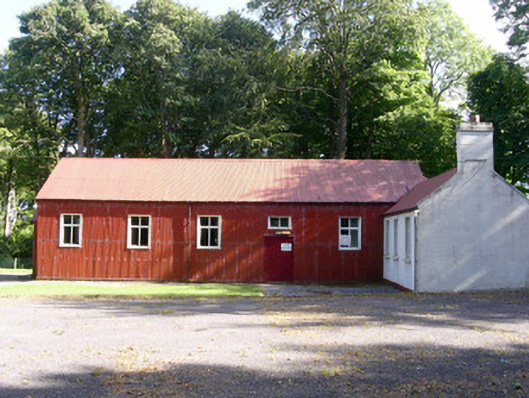 The Hallcommunity centre · 696 yd
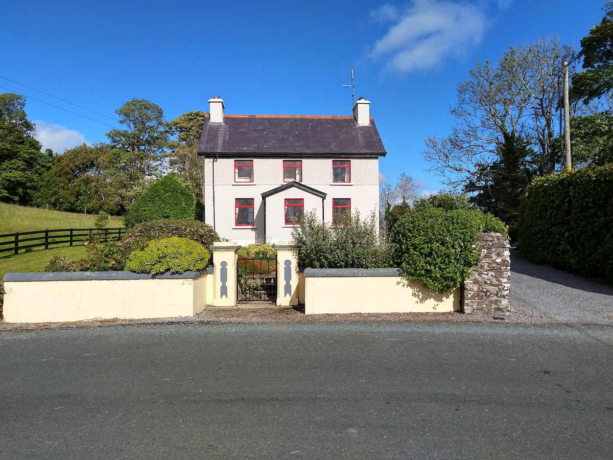
 Carrowgarry Househouse · 1007 yd
 Giant's GraveArchaeological place · 1.0 mi
 Bawn in Tanrego WestBawn · 1.0 mi
 European ashEuropean ash · 1.2 mi
 Bawn in Longford DemesneBawn · 1.4 mi
 Lahanacappul IslandIslet · 1.5 mi
 Pigeonpark WoodForest · 1.5 mi
 Ballinlig PointHeadland · 1.7 mi
 Derinch PointHeadland · 1.8 mi
Other information
Photo: Credit not shown in the picture search · Rights wording not checked; contact us if this picture should be removed