
What is recorded here
Situated in rolling pasture. Raised circular area (25.9m E-W; 24m N-S) enclosed by a low bank (Wth 2.2-4.5m; int. H 0.3m) with both internal and external stone kerbing. No fosse. Small stones protruding from ground level extend across a break (Wth. 2m) in the bank at E. Second gap (Wth 2m) at NW . Within the interior are traces of a possible Man-made underground passage (SL019-139001-). The monument has been planted with coniferous trees.
Compiled by: Patrick F. O'Donovan
Date of upload: 19 January 2011
The monument record does not grant public access. Check the route and ask the landowner before entering private land.
- What survives
- Recorded monument
Places near here
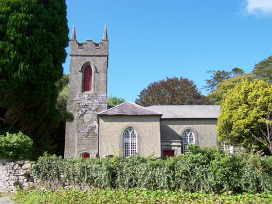 Christ Church (Dromard)church/chapel · 345 yd
 Carrowgarry Househouse · 512 yd
 Cross in BarnabrackCross · 782 yd
 Bawn in Tanrego WestBawn · 808 yd
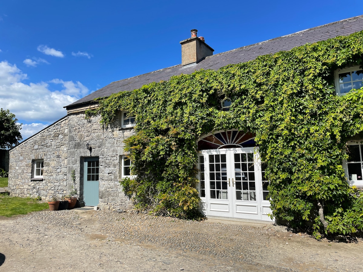 Enclosure in Tanrego WestEnclosure · 969 yd
 Derinch PointHeadland · 1.1 mi
 Lahanacappul IslandIslet · 1.5 mi
 Giant's GraveArchaeological place · 1.5 mi
 Ballinlig PointHeadland · 1.6 mi
 CastleCastle, ringwork · 1.8 mi
 European ashEuropean ash · 1.9 mi
 DoomoreMountain / peak · 2.1 mi
Other information
Photo: Credit not shown in the picture search · Rights wording not checked; contact us if this picture should be removed