What is recorded here
Discovered during harvesting in October 2017, the Man-made underground passage is on the northern flank of a low rise in a tillage field. It consists of an end gallery or expanded passage (L 10.7m, Wth 2.25m, H 1.65m) aligned E-W. There is a decrease in width and height towards the east end (Wth 1.5m, H 1.55m). Several animal bones, including horse bones, were recovered lying loose on the floor. The modern opening in the roof (L 1.3m, Wth 1.2m, D 0.7m) is where a lintel has collapsed 1.5m from the W end. At the east end of the passage there is a turn south to a second passage (L 2.7m, W 1.5m) which is blocked with soil to the lintels. The walls are drystone-built and roofed with lintels resting on corbels. (Campbell et al. 2018, 188)
Compiled by: Kieran Campbell
Uploaded on: 24 October 2019
The monument record does not grant public access. Check the route and ask the landowner before entering private land.
- What survives
- Recorded monument
Places near here
 BallybarrackMountain / peak · 654 yd
 Church (in Ruins)Church · 750 yd
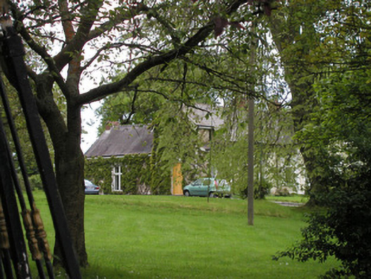 Rath Cottagehouse · 756 yd
 Enclosure in BallybarrackEnclosure · 792 yd
 Man-made underground passageMan-made underground passage · 905 yd
 CastleCastle, unclassified · 1706 yd
 Photo GalleryHeritage attraction · 1.4 mi
 Dundalk CentralHeritage attraction · 1.4 mi
 Maid of ErinMemorial · 1.9 mi
 Bombing 1975Memorial · 1.9 mi
 Castletown MotteArchaeological place · 1.9 mi
 Soldiers' PointHeadland · 3.8 mi