
What is recorded here
The following description is derived from both the published 'Archaeological Inventory of County Louth' (Dublin: Stationery Office, 1986) and the 'Archaeological Survey of County Louth' (Dublin: Stationery Office, 1991). In certain instances the entries have been revised and updated in the light of recent research.
Date of upload/revision: 17 July 2007
Excavated by E. P. Kelly in 1977. Settlement within an oval enclosure (max. diam. c. 90m) with deep fosse which formerly had an internal bank and counterscarp, both of which may have been at least partly stone faced. Medieval pottery found in all levels of fosse fill. Complex of three Man-made underground passages (LH007-072002-, LH007-072004- and LH007-072005-) found within the enclosure. Metal working area (LH007-072008-) found in W area of site. (DEHLG file F94/2381/1)
The monument record does not grant public access. Check the route and ask the landowner before entering private land.
- What survives
- Recorded monument
Places near here
 Church (in Ruins)Church · 48 yd
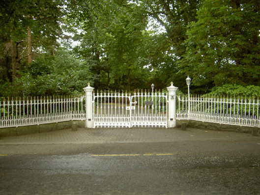 Ballybarrack Housegates/railings/walls · 139 yd
 BallybarrackMountain / peak · 426 yd
 Man-made underground passageMan-made underground passage · 1074 yd
 Enclosure in Killally (dundalk Upper By.)Enclosure · 1249 yd
 Photo GalleryHeritage attraction · 1.2 mi
 Dundalk CentralHeritage attraction · 1.2 mi
 Maid of ErinMemorial · 1.6 mi
 Bombing 1975Memorial · 1.6 mi
 CastleCastle, tower house · 1.8 mi
 Castletown MotteArchaeological place · 1.9 mi
 Soldiers' PointHeadland · 3.4 mi
Other information
Photo: Credit not shown in the picture search · Rights wording not checked; contact us if this picture should be removed