
What is recorded here
The following description is derived from both the published 'Archaeological Inventory of County Louth' (Dublin: Stationery Office, 1986) and the 'Archaeological Survey of County Louth' (Dublin: Stationery Office, 1991). In certain instances the entries have been revised and updated in the light of recent research.
Date of upload/revision: 17 July 2007
Built of blocks and slabs of greywacke (ext. dims. c. 16m E-W, c. 7m N-S). Extensively repointed and converted recently into an oratory. Undivided nave and chancel, doorway with reveals in W end of S wall. Windows in E gable are almost certainly part of recent renovations. Walls other than at E only rise c. 1.2m above the present ground level and are featureless. The proportions of the building and the position of the doorway with its reveals indicate a church of fifteenth- or sixteenth-century date. (Tempest 1952, 123; CLAJ 1919-20, pl. opp. 357, 387; CLAJ 1941, 14; CLAJ 1952, 232)
A local church or high cross; wider significance not recorded.
The monument record does not grant public access. Check the route and ask the landowner before entering private land.
- What survives
- Recorded monument
Places near here
 Enclosure in BallybarrackEnclosure · 48 yd
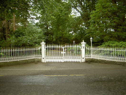 Ballybarrack Housegates/railings/walls · 111 yd
 BallybarrackMountain / peak · 384 yd
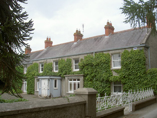 farm housefarm house · 533 yd
 Man-made underground passageMan-made underground passage · 1069 yd
 Photo GalleryHeritage attraction · 1.2 mi
 Dundalk CentralHeritage attraction · 1.2 mi
 Maid of ErinMemorial · 1.6 mi
 Bombing 1975Memorial · 1.6 mi
 CastleCastle, tower house · 1.8 mi
 Castletown MotteArchaeological place · 1.9 mi
 Soldiers' PointHeadland · 3.5 mi
Other information
Photo: Credit not shown in the picture search · Rights wording not checked; contact us if this picture should be removed