
What is recorded here
The following description is derived from both the published 'Archaeological Inventory of County Louth' (Dublin: Stationery Office, 1986) and the 'Archaeological Survey of County Louth' (Dublin: Stationery Office, 1991). In certain instances the entries have been revised and updated in the light of recent research.
Date of upload/revision: 6 December 2011
Wrongly ascribed to Thomastown townland by Tempest (CLAJ 1912, 23-3). The Man-made underground passage is recorded as consisting of a circular chamber at the W end, with a passage leading off E to three sub-rectangular chambers leading off one another and connected by creeps (Wth 1m, H 0.9m). Total length of Man-made underground passage 18.9m. The end chamber was capped by a millstone which may be a later insertion to close a breach in the roof. Now inaccessible.
The monument record does not grant public access. Check the route and ask the landowner before entering private land.
- What survives
- Recorded monument
Places near here
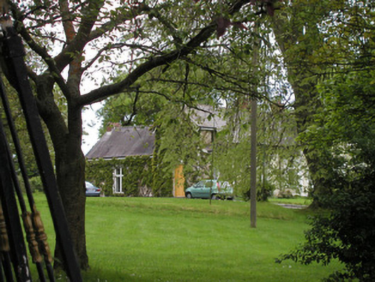 Rath Cottagehouse · 413 yd
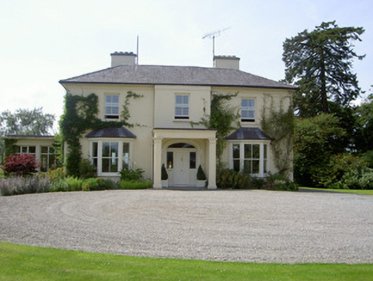 Brookfield Househouse · 793 yd
 Enclosure in BallybarrackEnclosure · 1074 yd
 BallybarrackMountain / peak · 1289 yd
 Man-made underground passage in DemesneMan-made underground passage · 1515 yd
 Photo GalleryHeritage attraction · 1725 yd
 Dundalk CentralHeritage attraction · 1.0 mi
 Castletown MotteArchaeological place · 1.4 mi
 Maid of ErinMemorial · 1.5 mi
 Bombing 1975Memorial · 1.5 mi
 CastleCastle, unclassified · 1.5 mi
 Soldiers' PointHeadland · 3.6 mi
Other information
Photo: Credit not shown in the picture search · Rights wording not checked; contact us if this picture should be removed