What is recorded here
Liscahane holds a hidden west-facing passage inside a ringfort, linking two fortifications beneath soil. Broker recorded a flag marking the opening in 1937, yet no surface trace remains visible today. The disappearance does not erase the shape; it suggests the earth reclaimed a route people once cut deliberately through rock.
In ringfort (8467). Broker (1937, 49) recorded 'flag in centre over opening, passage going due West to Pomeroy's fort'. No visible surface trace.
The above description is derived from the published 'Archaeological Inventory of County Cork. Volume 3: Mid Cork' (Dublin: Stationery Office, 1997). In certain instances the entries have been revised and updated in the light of recent research.
Date of upload/revision: 14 January 2009
The monument record does not grant public access. Check the route and ask the landowner before entering private land.
- What survives
- Recorded monument
Places near here
 Mount Leadercountry house · 666 yd
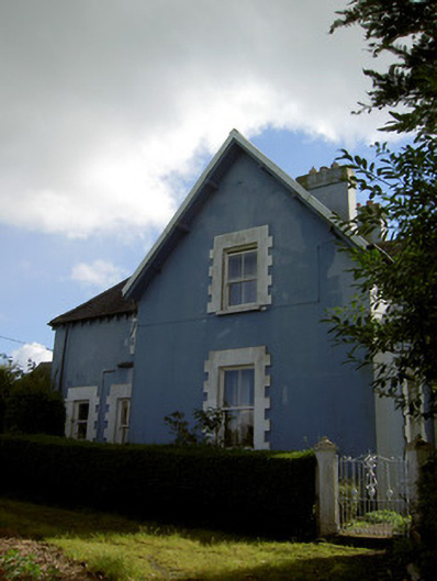 The Rectoryrectory/glebe/vicarage/curate's house · 742 yd
 Urn burial in LiscahaneUrn burial · 779 yd
 RowanRowan · 1069 yd
 St. Patrick's ChurchVisitor information · 1136 yd
 Millstreet Tourist InformationVisitor information · 1143 yd
 Man-made underground passage in Tullig (muskerry West By.)Man-made underground passage · 1152 yd
 Millstreet Museum & Tourist Information CentreMuseum · 1201 yd
 Kilmeedy CastleCastle, tower house · 1.3 mi
 Claragh MountainMountain / peak · 1.6 mi
 Castle and TurretCastle, tower house · 1.7 mi
 CurracahillMountain / peak · 3.2 mi