What is recorded here
Killynure rath in County Cavan holds a waterlogged depression eight metres long inside its western bank, perhaps marking a forgotten underground passage. The shape is clear enough to suggest deliberate construction rather than casual collapse, yet the missing structure leaves the function open to imagination. Someone cut through solid earth, created a narrow chamber and abandoned it to rain and time. The rath still stands around that hollow, waiting for the lost passage to reappear in memory or excavation.
At Killynure rath (CV032-024001-). Inside the bank at W is a long, subrectangular, waterlogged depression (L 8.9m; Wth 2.6m; D 0.3m) which may mark the site of a Man-made underground passage.
The above description is derived from the published 'Archaeological Inventory of County Cavan' (Dublin: Stationery Office, 1995). In certain instances the entries have been revised and updated in the light of recent research.
Date of upload/revision: 22 December 2008
The monument record does not grant public access. Check the route and ask the landowner before entering private land.
- What survives
- Recorded monument
Places near here
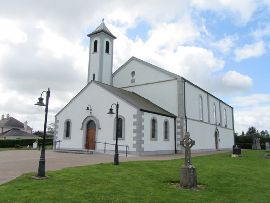 St Matthew's Roman Catholic Churchchurch/chapel · 1.3 mi
 Ritual siteRitual site, holy/saint's stone · 1.3 mi
 St. Patricks WellHoly well · 1.3 mi
 CarrickatoberMountain / peak · 1.4 mi
 Kiffagh Schoolschool · 1.5 mi
 Pottle ForestForest · 1.8 mi
 Bawn in DuffcastleBawn · 2.0 mi
 Derry ForestForest · 2.2 mi
 Raven's RockNamed rock · 2.3 mi
 AghadreenaghMountain / peak · 2.6 mi
 Site of the Fever HospitalMemorial · 2.9 mi
 River Inny BridgeMemorial · 2.9 mi