What is recorded here
In relatively level ground. This monument was identified in 2011 during groundworks prior to the establishment of a garden. The roofstone and a number of adjoining stones were dislodged and collapsed into an approximately circular chamber (dims. c. 2.2m ENE-WSW; c. 2m NNW-SSE; max. H c. 1.2m) constructed of roughly coursed drystone masonry. The wall is best preserved from SW-W. Immediately to the NNW is a very wide drystone wall composed of uncoursed rubble. Portion of this wall has recently collapsed into the chamber. The opening to a passage (H. c.1m; Wth. 0.8m) can be seen at the E side of the chamber. The chamber has been backfiled.
Compiled by: Patrick F. O'Donovan
Date of upload: 13 January 2012
The monument record does not grant public access. Check the route and ask the landowner before entering private land.
- What survives
- Recorded monument
Places near here
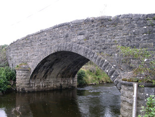 Billa Bridgebridge · 367 yd
 St. Fechins WellHoly well · 526 yd
 Indicated (1838).Enclosure · 645 yd
 Moymlough Castle (in Ruins)Castle, tower house · 1268 yd
 CroaghaunMountain / peak · 1685 yd
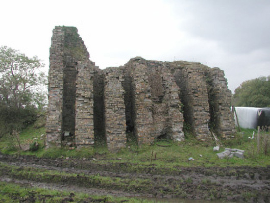 Coolaney Brick Workskiln · 1.0 mi
 Tullaghan HillMountain / peak · 1.1 mi
 Castle (Site of)Castle, unclassified · 2.4 mi
 RinnatalleenHeadland · 2.6 mi
 Teeling MonumentMemorial · 2.7 mi
 Battle of Collooneybattle · 2.7 mi
 Field MapleField Maple · 4.0 mi