What is recorded here
Some time ago a 'flag-covered tunnel' was, found during sowing operations. It was situated near the crest of a hill in cultivated land.
The above description was derived from the 'Archaeological Survey of County Donegal. A description of the field antiquities of the County from the Mesolithic Period to the 17th century.' Compiled by: Brian Lacey with Eamon Cody, Claire Cotter, Judy Cuppage, Noel Dunne, Vincent Hurley, Celie O'Rahilly, Paul Walsh and Seán Ó Nualláin (Lifford: Donegal County Council, 1983). In certain instances the entries have been revised and updated.
Date of upload: 22 September 2008
The monument record does not grant public access. Check the route and ask the landowner before entering private land.
- What survives
- Recorded monument
Places near here
 Drumineney Househouse · 1083 yd
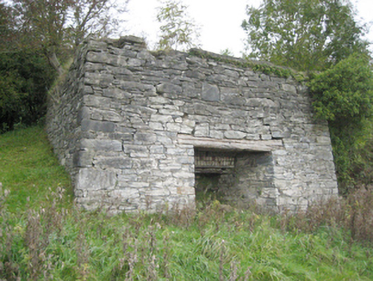 kilnkiln · 1085 yd
 Tops Demesne EnclosureEnclosure · 1506 yd
 Grave yardEnclosure · 1.1 mi
 PalaceHouse, fortified house · 1.6 mi
 Mongorry HillMountain / peak · 2.4 mi
 Carnowen HillMountain / peak · 2.4 mi
 Bawn in Killynure OR Wilsons FortBawn · 3.0 mi
 Feddyglass WoodWood · 4.3 mi
 BATTLE SITE: in 789 AD & BATTLE OF THE FORDS , Southern crossing, 1689 in Clady; DonnygowanBATTLE SITE: in 789 AD & BATTLE OF THE FORDS , Southern crossing, 1689 · 5.6 mi
 Battle of Scarrifholisbattle · 8.5 mi
 Newmills Corn and Flax MillsHeritage attraction · 8.6 mi