What is recorded here
One chamber has a rounded roof, the other a pointed throat, both cut into the seaward face of the promontory fort at Dunworly. The sea threw them up after a spring storm in 1991, then took back the path that led into them. They still stand like a door and a keyhole, waiting for the land to remember how to open.
In a coastal promontory fort (CO136-100---). Two earth-cut openings, one with a rounded top and the other pointed, were noted in the eroded face of the seaward side of the promontory fort following a storm in the Spring of 1991 (pers. comm. Domnall Fleming). Photographs supplied confirm the possibility that these openings are part of a Man-made underground passage. The openings were inaccessible.
The above description is derived from 'The Archaeological Inventory of County Cork. Volume 5' (Dublin: Stationery Office, 2009).
Date of upload: 22 December 2009
The monument record does not grant public access. Check the route and ask the landowner before entering private land.
- What survives
- Recorded monument
Places near here
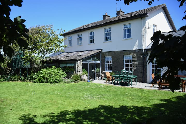 IndicatedPromontory fort, coastal · 1 yd
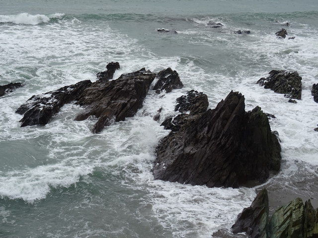 Dunworly BeachBeach / strand · 224 yd
 Cave DunworleyViewpoint · 264 yd
 St Annes Well (Site of)Holy well · 930 yd
 Kilsillagh Church (in Ruins)Church · 940 yd
 Bird Island ViewViewpoint · 1357 yd
 Dunworly CastleCastle · 1383 yd
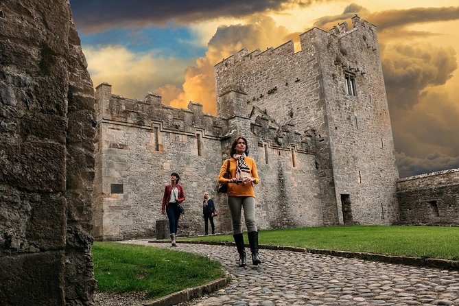 Rock Castle (in Ruins)Castle, tower house · 1386 yd
 Dunworly PointHeadland · 1660 yd
 Sea Courtcountry house · 1.1 mi
 War MemorialMemorial · 2.9 mi
 HDS walk Coolim CliffsHeritage attraction · 3.0 mi