What is recorded here
Three connected depressions still mark the west half of Drumad rath, preserving the ghost of a passage built beneath the ground. They remain visible today, holding the shape of human effort long after the structure itself disappeared.
An earlier report (OPW 1977) recorded that much of the W half of Drumad rath (CV028-013001-) is occupied by three connected depressions which probably represent the remains of a Man-made underground passage.
The above description is derived from the published 'Archaeological Inventory of County Cavan' (Dublin: Stationery Office, 1995). In certain instances the entries have been revised and updated in the light of recent research.
Date of upload/revision: 22 December 2008
The monument record does not grant public access. Check the route and ask the landowner before entering private land.
- What survives
- Recorded monument
Places near here
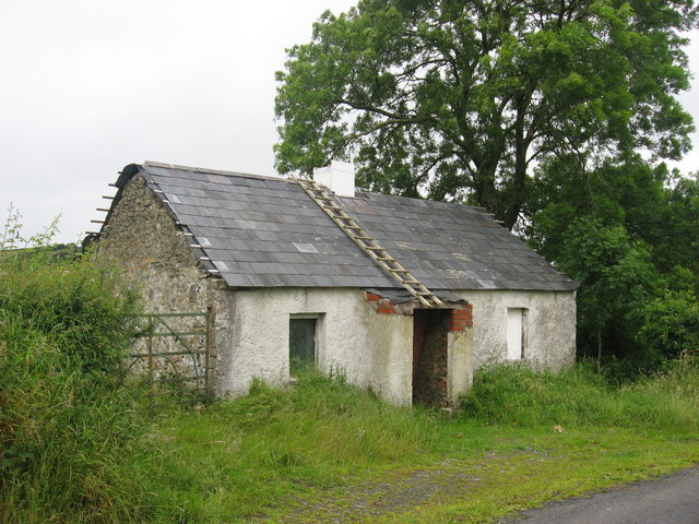 IndicatedFairy fort / earthen ringfort · 697 yd
 Cooney's FortArchaeological place · 1015 yd
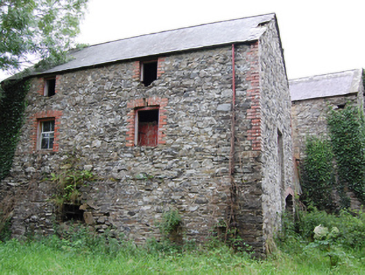 Glasleck Millmill (water) · 1201 yd
 NolaghWood · 1292 yd
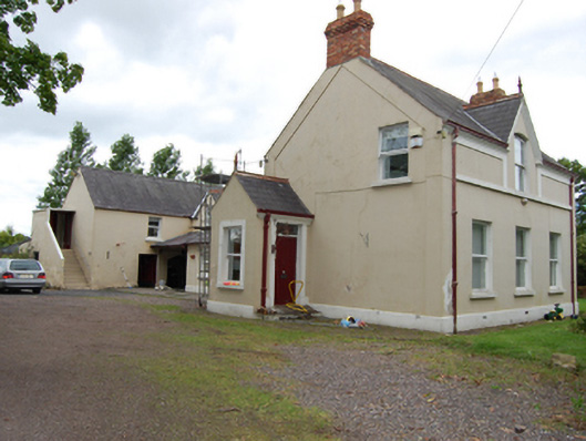 The Mansemanse · 1318 yd
 Green IslandIsland · 1.1 mi
 DerrynureMountain / peak · 1.2 mi
 Derrynure Bog WoodlandWood · 1.3 mi
 CorravillaMountain / peak · 1.6 mi
 Kilmacaran IslandIslet · 2.5 mi
 Bawn in LisdrumskeaBawn · 2.5 mi
 Welcome to Bailieborough DemesneVisitor information · 2.5 mi