What is recorded here
The following description is derived from both the published 'Archaeological Inventory of County Louth' (Dublin: Stationery Office, 1986) and the 'Archaeological Survey of County Louth' (Dublin: Stationery Office, 1991). In certain instances the entries have been revised and updated in the light of recent research.
Date of upload/revision: 17 July 2007
Drystone-built Man-made underground passage situated in interior of an oval enclosure (LH011-003001-) showing on aerial photograph (CUCAP, ALU 18). The Man-made underground passage consists of a passage (L 4.1m, Wth 0.8m, H 1m) aligned N-S, with a drop-hole at the S end giving access to a second passage (L 4m, Wth 1m, H 1.1m) continuing S and terminating in the middle of the N side of a gallery (L 6.8m, Wth 1.5m, H1.6m) running E-W.
At the end of the first passage a drop-hole gives access to a third passage (L 9.3m, Wth 0.8-1.1m, H 1.1m) running E-W and expanding at the W end to form a fourth passage (L 5.2m, Wth 2.3m, H 1.5m). At the W end the fourth passage turns sharply N, then is blocked by collapse. A second gallery (L 4m, Wth 1.1-2m, H 1.7m) extends S from the middle of the S side of the fourth passage. (CLAJ 1955, 288; CLAJ 1956, 441-4)
The monument record does not grant public access. Check the route and ask the landowner before entering private land.
- What survives
- Recorded monument
Places near here
 Enclosure in ChanonrockEnclosure · 1 yd
 CastleCastle, motte and bailey · 441 yd
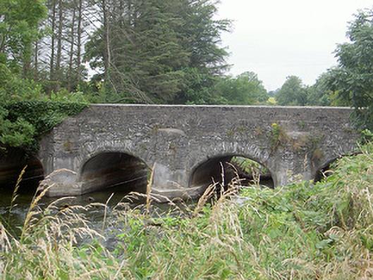 Castlering Bridgebridge · 763 yd
 St. Patricks WellHoly well · 875 yd
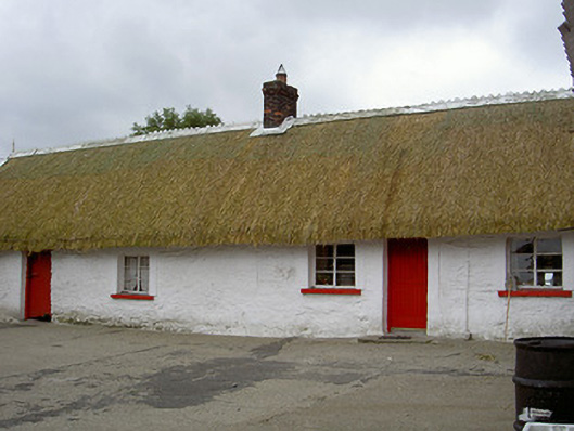 The Thatchhouse · 939 yd
 Mount AshCastle, motte · 1.3 mi
:no_upscale()/cdn.vox-cdn.com/uploads/chorus_asset/file/25593391/County_Louth_6th.jpg) LouthMountain / peak · 2.0 mi
LouthMountain / peak · 2.0 mi BallybarrackMountain / peak · 4.5 mi
 Long PlantationForest · 4.9 mi
 Photo GalleryHeritage attraction · 5.4 mi
 Dundalk CentralHeritage attraction · 5.4 mi
 Maid of ErinMemorial · 5.9 mi